
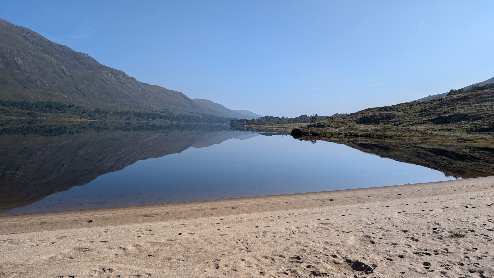
Loch Affric – A Day's Walk Round the Loch Beneath the Munros
11 miles · dogs on a lead · toilets
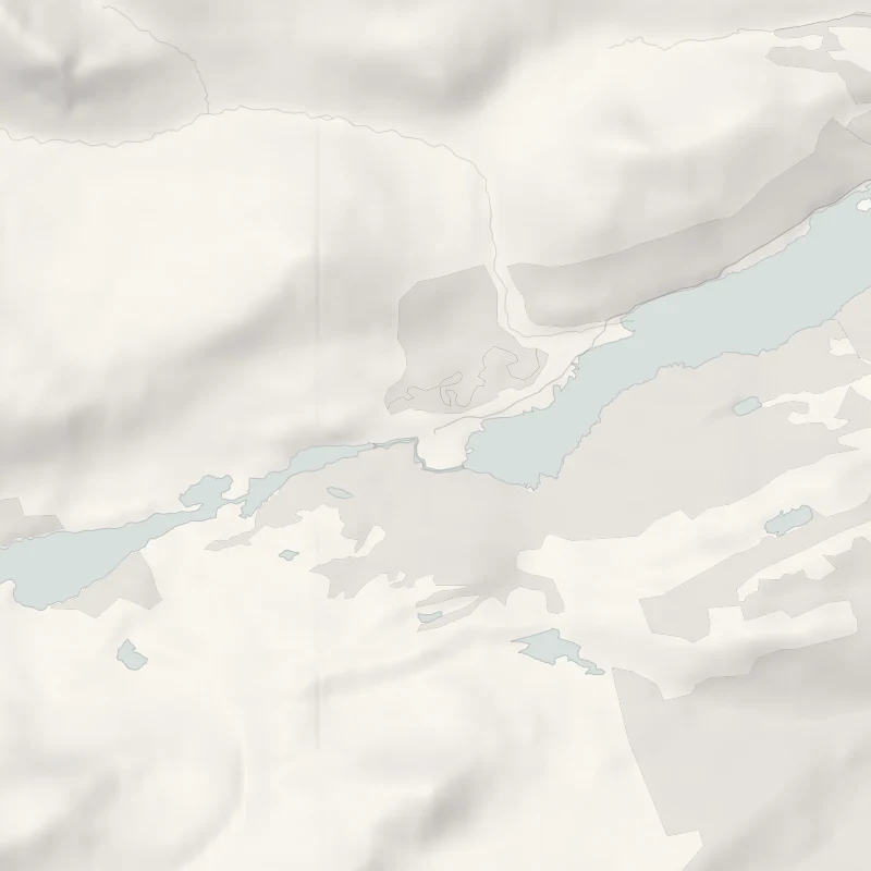
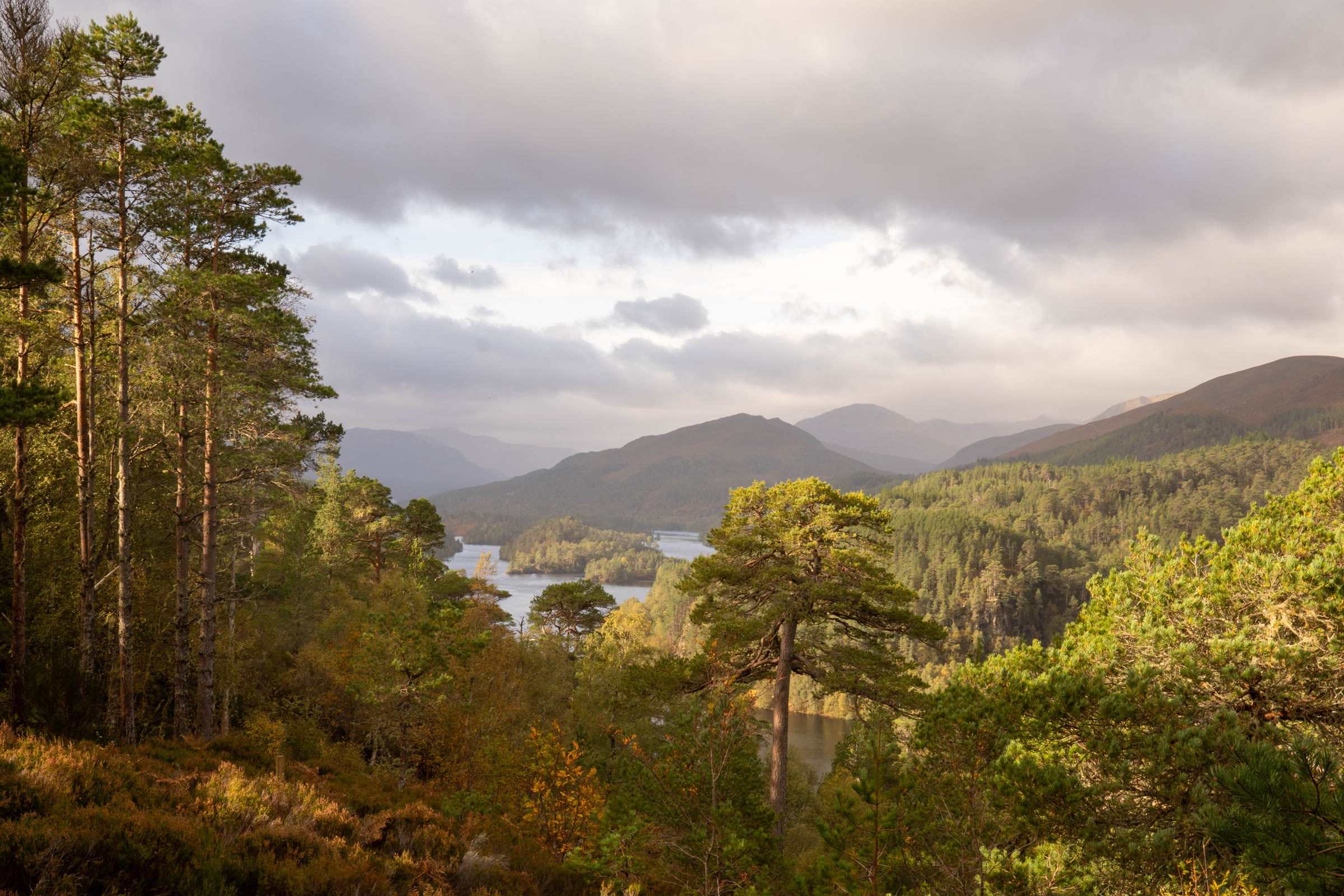
Loch Affric lies in the upper part of Glen Affric, ringed by mountains, and the paths round it pass what is left of the old Caledonian pinewood.
The walk all the way round is long rather than hard.
Where it starts
Forestry and Land Scotland's River Affric car park at the end of the public road up Glen Affric: £2 for up to an hour, £3 for up to three hours, £5 for the day, by coins, card or RingGo, the ticket good at the other Glen Affric car parks; Blue Badge holders free.
Is it for me?
Tap who is coming, or the day you have, for the answer on this walk.
Before you go
On the path
Four to six hours' walking: about 11 miles (18 km) round the loch, with about 330 metres of climbing, plus time for lunch. A track along one shore and a path across the hillside above the other. For children, a long walk of about 11 miles in remote country.
Good to know
All year. About 10am. Dogs on a short lead or close at heel in the breeding season, usually April to July (the Scottish Outdoor Access Code). Toilets at the car park from 1 April to 31 October; from November to March the nearest are at Dog Falls. None on the walk.
The walk
The walk round Loch Affric is a loop of about 11 miles (18 km) from the River Affric car park, where the public road up Glen Affric ends. It climbs about 330 metres and takes four to six hours on foot, plus time for lunch. The south shore has a good forest road; the north side is a rougher hill path, wet in places, that fords a string of burns. It can be walked either way round: anticlockwise puts the rough ground first, while legs are fresh, and leaves the forest road for the way home.
On the hill path, fenced ground holds young Scots pines growing back. Wolves once kept the deer in check; now fences and fewer deer let the trees grow. In autumn and winter the deer move lower for shelter and food, when they are easiest to see. Golden eagles and mountain hares live in the glen, and otters are common along its water.
Near the bridge over the Allt Coire Leachavie, a path climbs to Màm Sodhail, which with Càrn Eige beside it is the highest ground north of the Great Glen. Further west, small Loch Coulavie sits a little above the big loch, under An Tudair Beag.
At the head of the loch the path crosses the River Affric by Athnamulloch, with the hills of Kintail showing to the west. People lived here until the 1950s, and cattle from Strathglass grazed the ground for twenty years after. Its old house is now a base for Trees for Life's volunteers, who plant trees to spread the forest west towards the coast.
The way back is the Affric Kintail Way, the signposted trail from Loch Ness to Kintail. It takes in old drove roads, on which cattle from the west were walked over the passes to market in Inverness. Ruined houses along the loch, plainest once the bracken has died down, show how many more people the glen once held.
Nothing in the glen sells food, so bring a packed lunch and water. Wear strong boots, and carry warm waterproofs and OS Explorer map 414: the glen is remote, its weather changes quickly and there is little phone signal. In winter, set off as soon as it is light.
If it rains
After heavy rain, one of the burns on the hillside path may be hard to cross.
After the walk
Something to do with the rest of the day, nearest the end of the walk first.
With the rest of the day
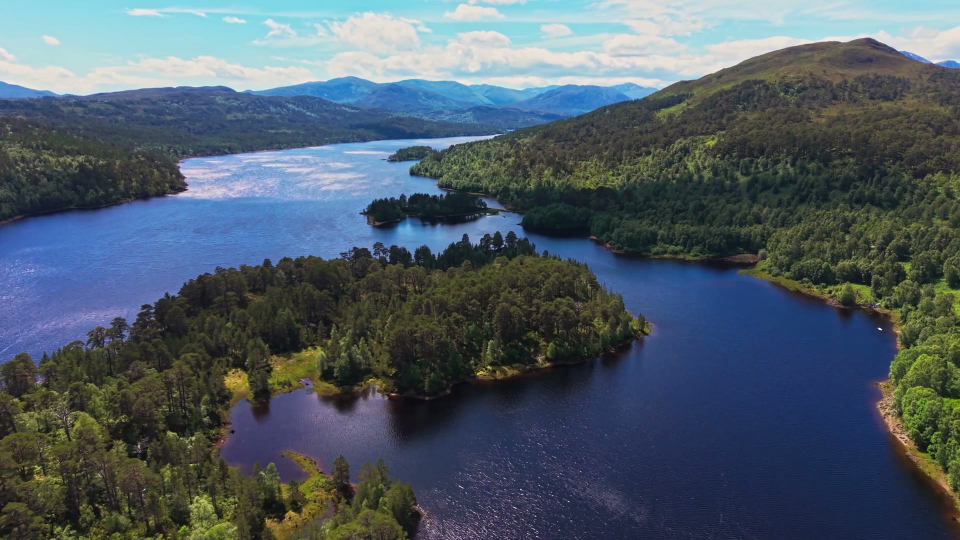 4 min by roadThings to doLoch Beinn a' MheadhoinA long loch in the Glen Affric National Nature Reserve, about eight miles up the glen road from Cannich.
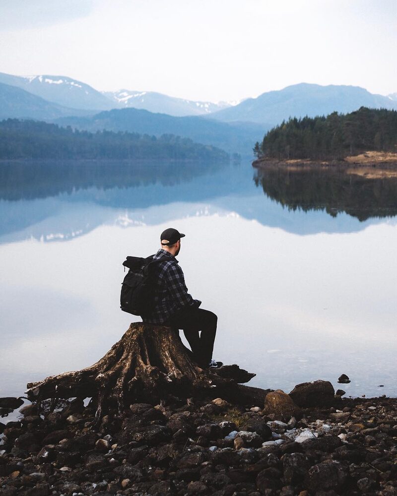 7 min by roadThings to doGlen AffricA National Nature Reserve west of Cannich, with ancient Caledonian pinewood, lochs and four Forestry and Land Scotland sites on a single-track road.
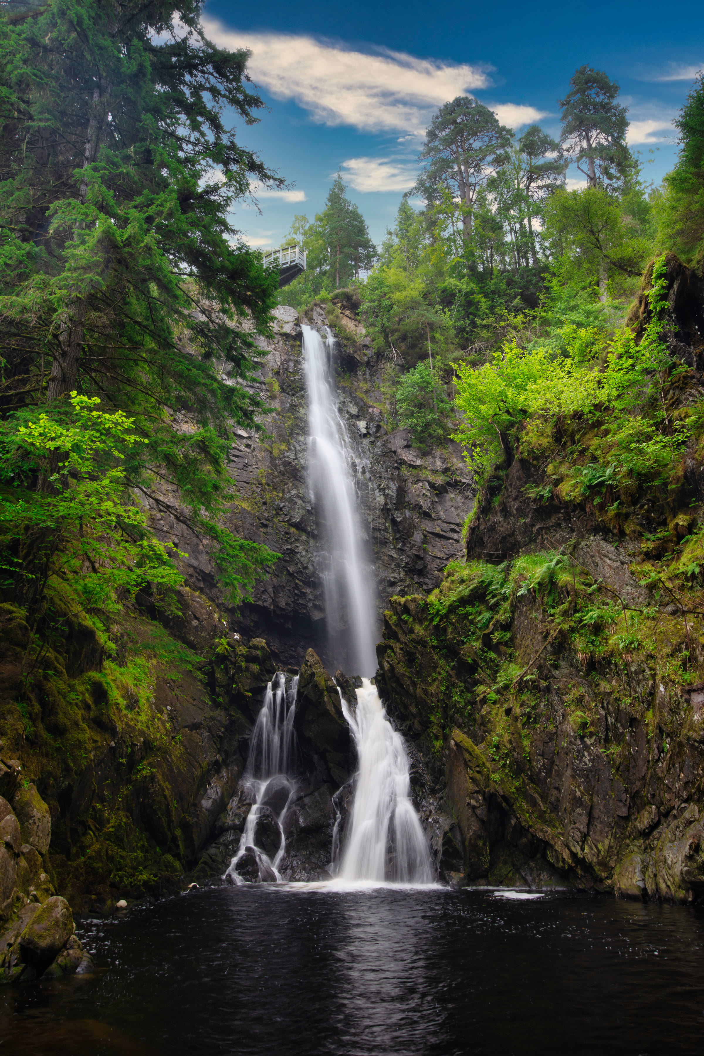
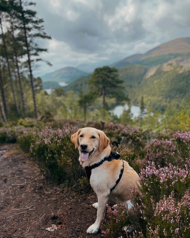 9 min by roadThings to doDog FallsRapids and dark pools in a rocky gorge in Glen Affric, the start of three waymarked trails through ancient pinewood to Coire Loch and a viewpoint.
Places to stay near the walk
Our places to stay nearest the start, by road.
An advert · Struy
Certhia at Eagle Brae
A cedar log cabin for up to four on a ridge above Eagle Brae in Strathglass, with a sauna, a freestanding bath and the whole glen below.
Sleeps 4 · 23 minutes by road
See Certhia at Eagle Brae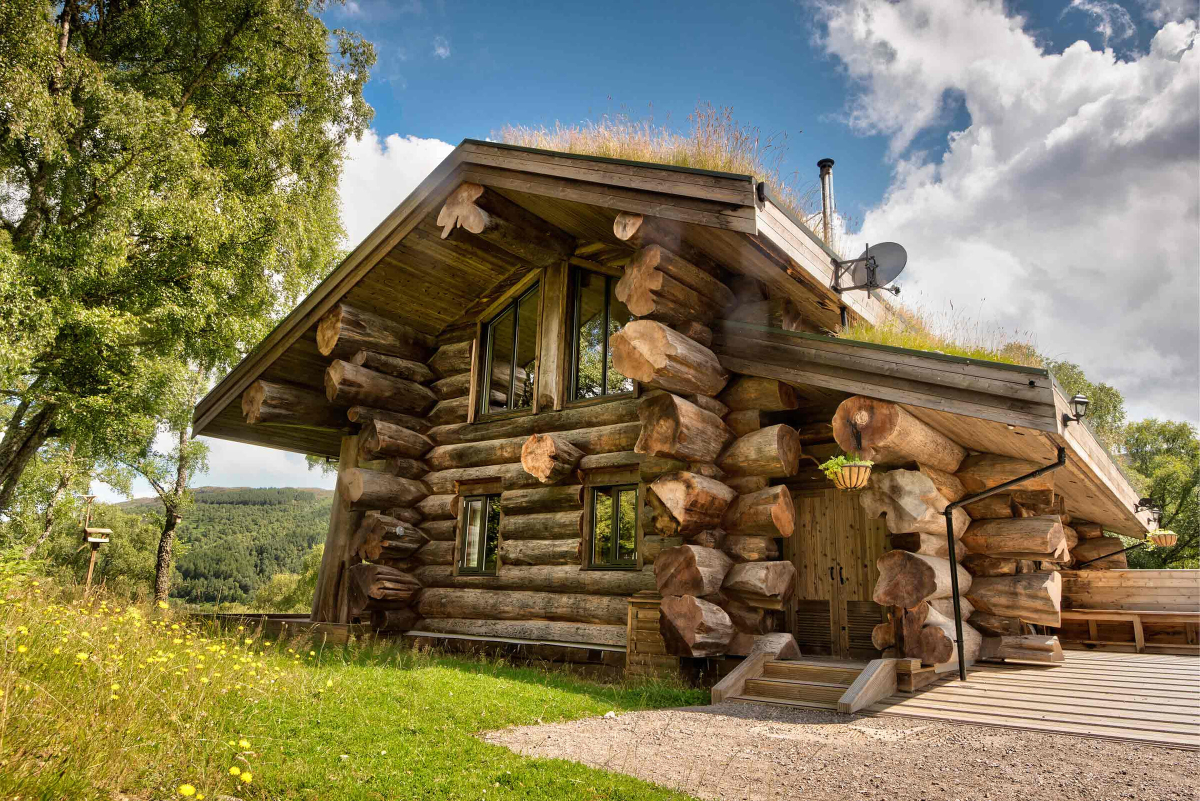
More places to stay near the walk
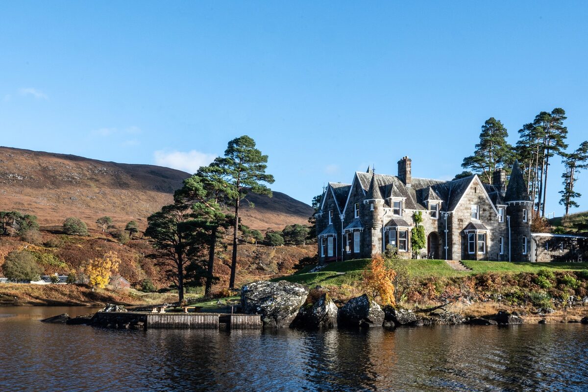 An advert · CannichGlen Affric EstateSleeps 24 · 8 minutes by road
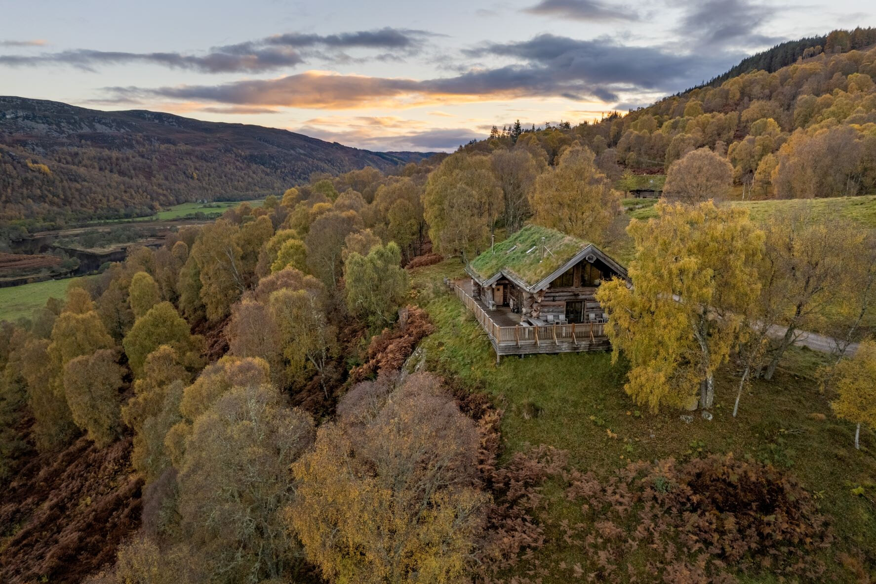 An advert · StruyAquila at Eagle BraeSleeps 6 · 23 minutes by road
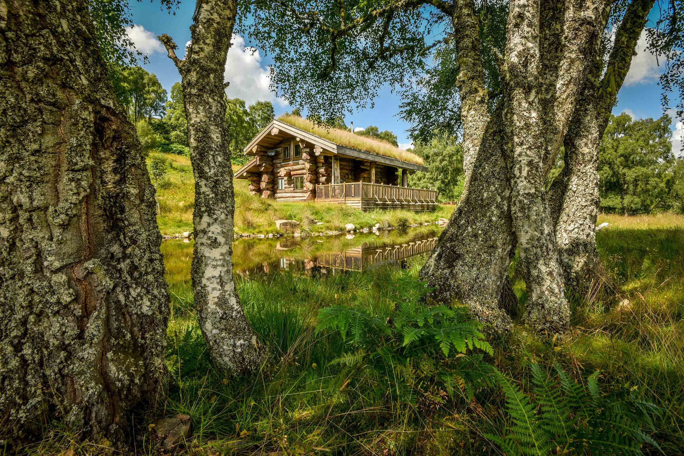 An advert · StruyArdea at Eagle BraeSleeps 4 · 23 minutes by road
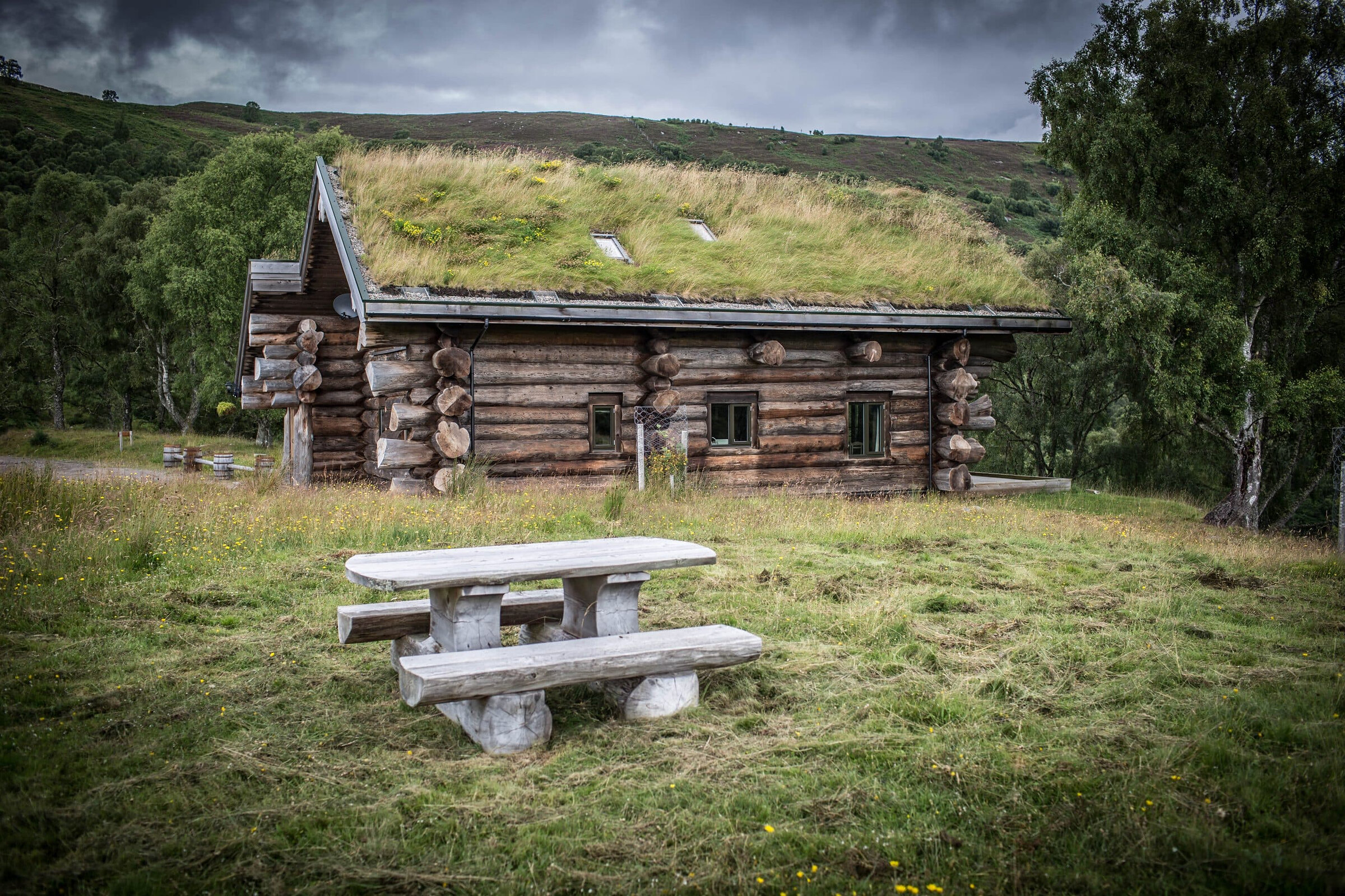 An advert · StruyButeo at Eagle BraeSleeps 6 · 23 minutes by road
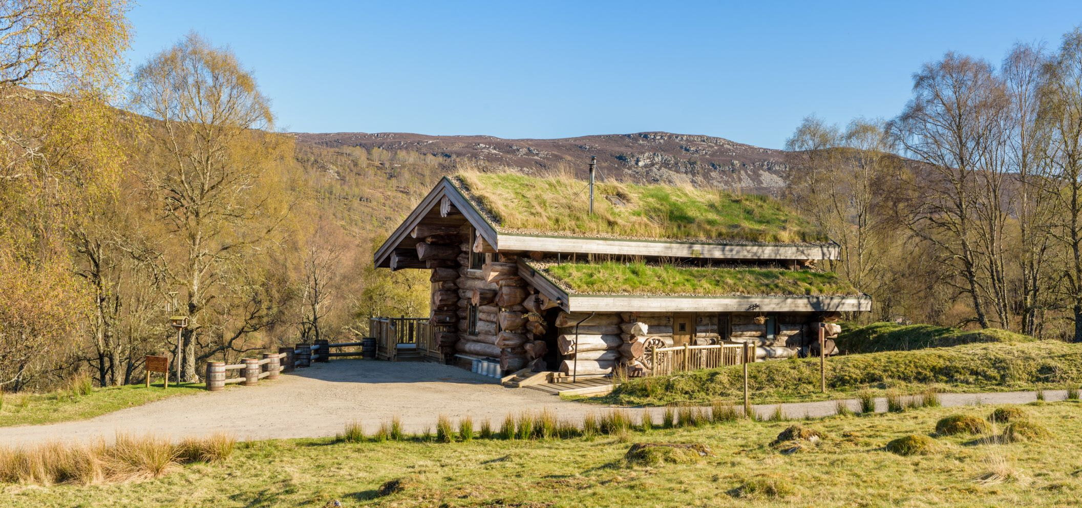 An advert · StruyCinclus at Eagle BraeSleeps 4 · 23 minutes by road
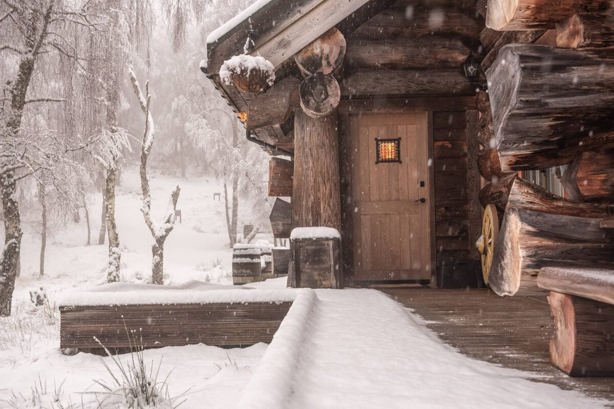 An advert · StruyEagle Brae23 minutes by road
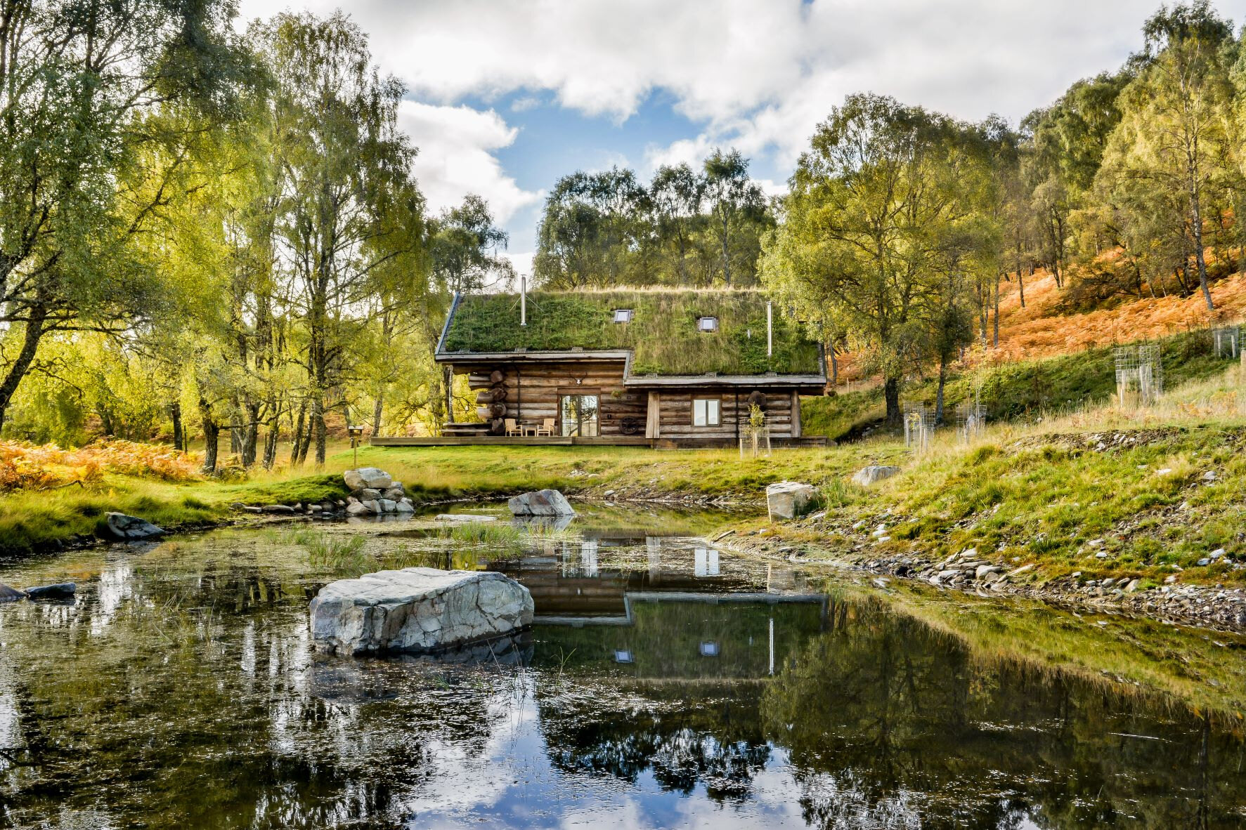 An advert · StruyLoxia at Eagle BraeSleeps 6 · 23 minutes by road
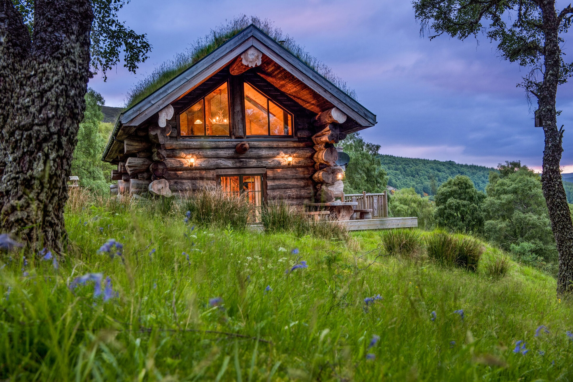 An advert · StruyParus at Eagle BraeSleeps 2 · 23 minutes by road
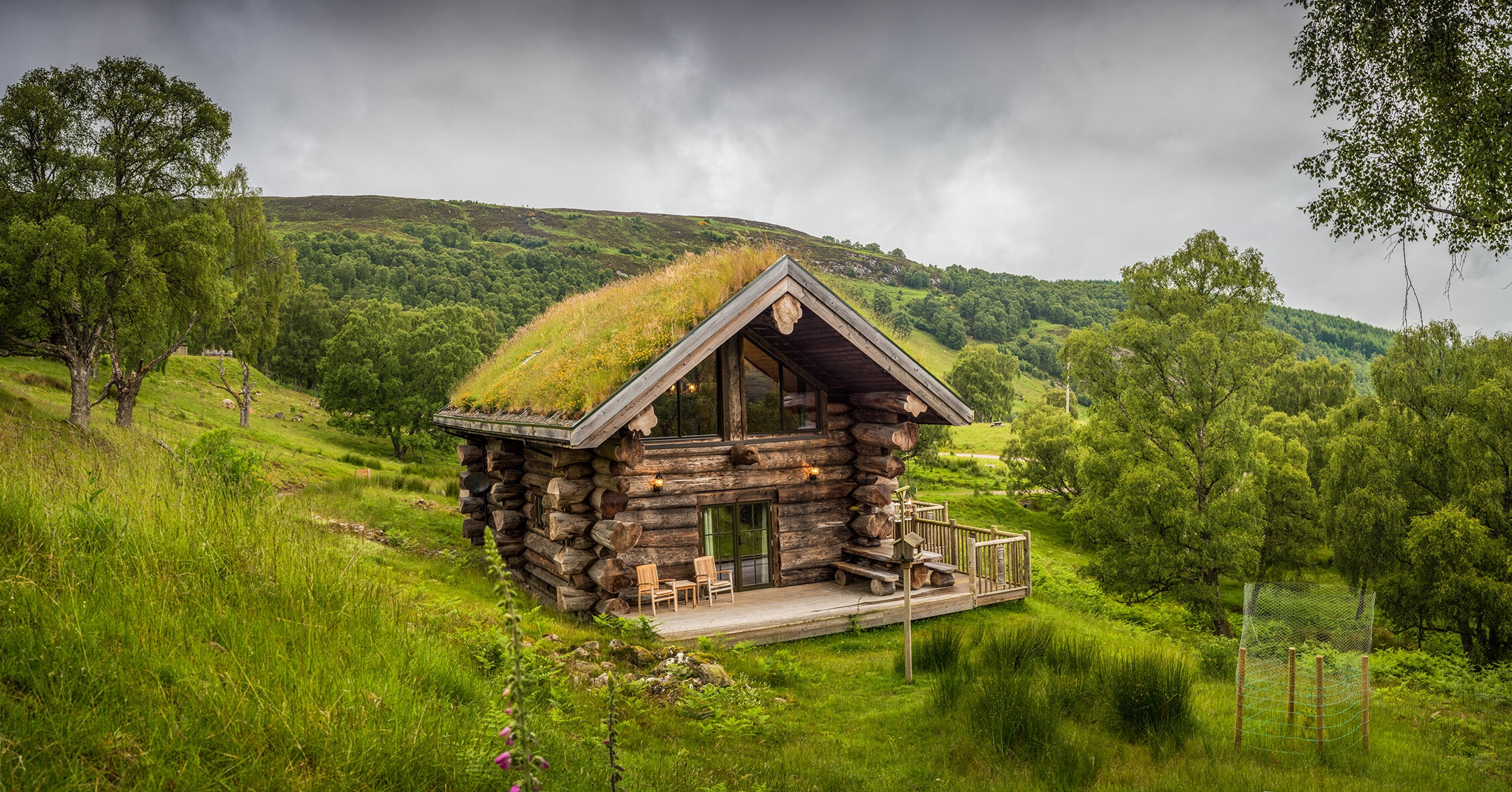 An advert · StruyStrix at Eagle BraeSleeps 2 · 23 minutes by road
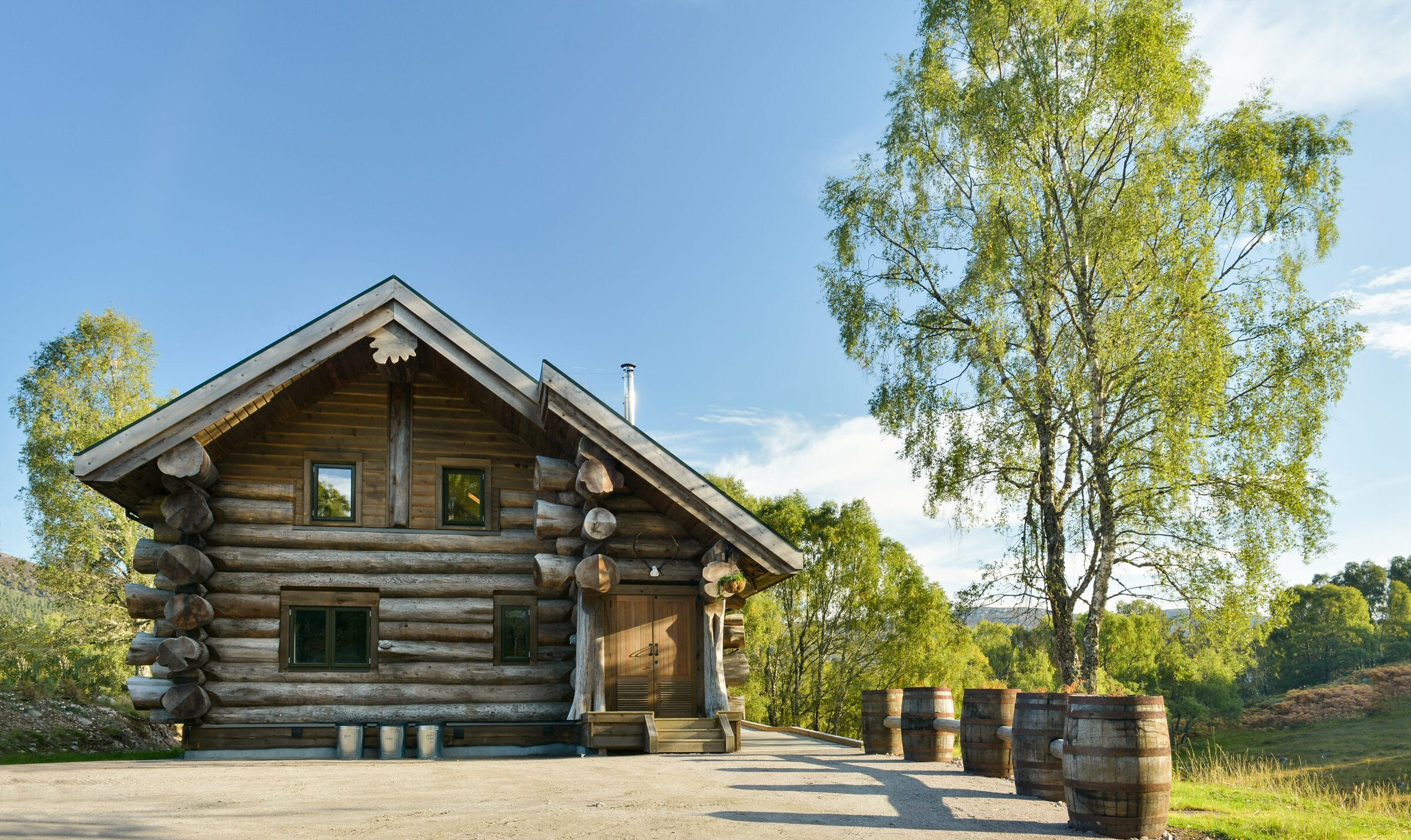 An advert · StruySylvia at Eagle BraeSleeps 2 · 23 minutes by road
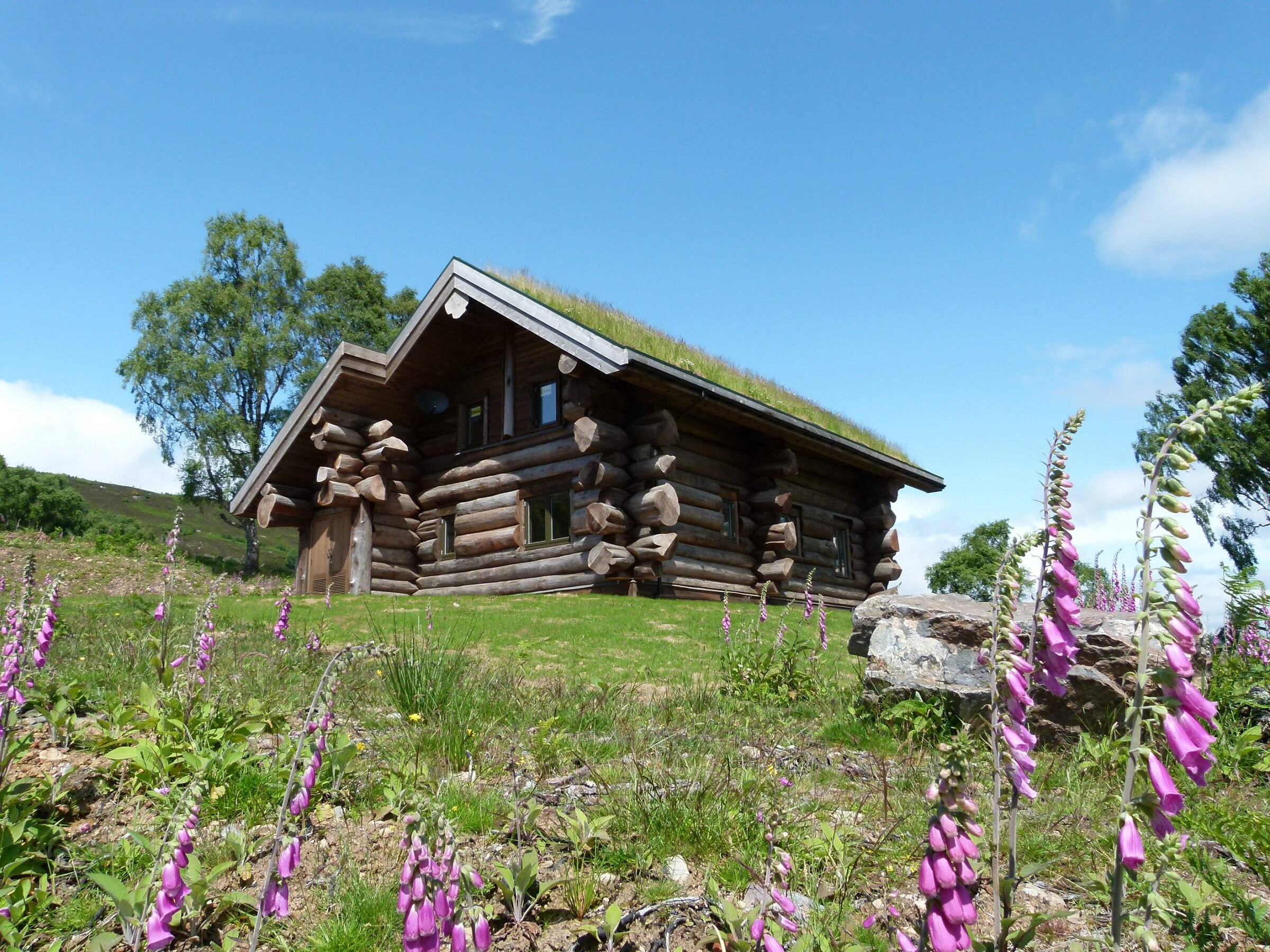 An advert · StruyTringa at Eagle BraeSleeps 2 · 23 minutes by road
More walks near here
Within a short drive of the start.
Did this walk?
Tell the next person how it went. The best go on this page, with your name.
For further reading, before you go.
Photograph by Gert-Jan Korpershoek via Google
Maps from OpenFreeMap © OpenMapTiles, data © OpenStreetMap contributors; heights from Mapzen's terrain tiles.