
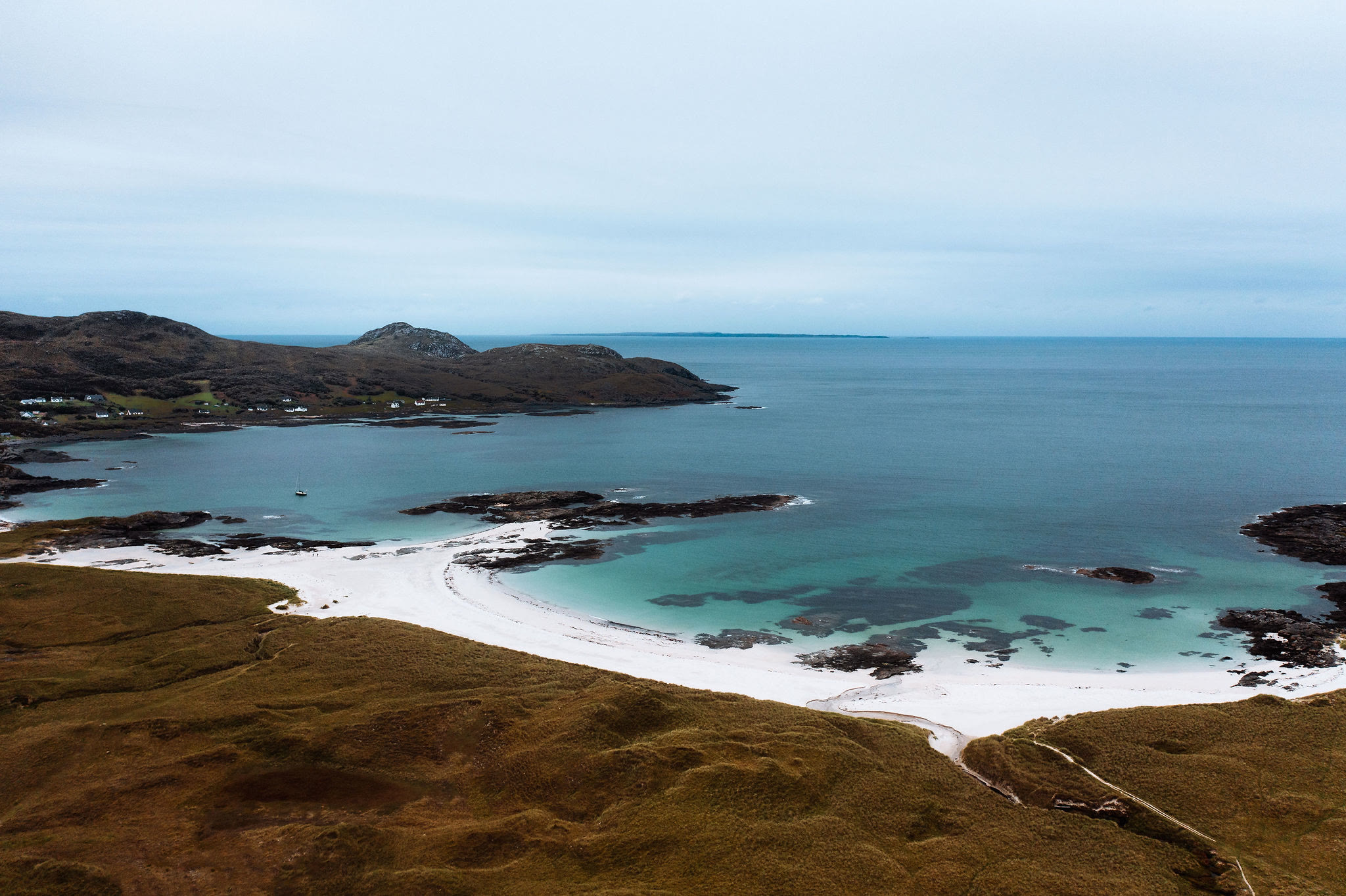
Sanna Bay – White Sand at the End of Ardnamurchan
4½ miles · 2½ to 3½ hours · a loop
dogs on a lead
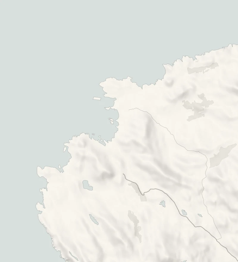
Sanna Bay is a run of white sandy beaches near the western tip of Ardnamurchan, with turquoise shallows, dark skerries and the Small Isles out to sea.
Portuairk, the most westerly village on the British mainland, is about a mile down the coast, and the walk between the two crosses crofts, low rocky ground and dunes. The round is about 7 km, and rough underfoot in places.
Where it starts
Start at the small car park at Portuairk, at the end of its side road off the B8007.
Is it for me?
Tap who is coming, or the day you have, for the answer on this walk.
Before you go
Getting there
Sanna has its own car park at the end of the Sanna road, open dawn to dusk.
On the path
Two and a half to three and a half hours: a round of 7 km from Portuairk by Sanna's beaches and Sanna Point, with 179 m of climbing. A rough coast walk. Rough croft tracks, sand, dunes and a cliff-top path. A long, rough round for small legs, with cliff tops; the beach itself is fine for children, with care near the rocks.
Good to know
All year in daylight. From November to January set off by 11.30am. Dogs on a lead: sheep graze the crofts. Croft land, low rocky hills, sand, dunes and cliff tops; rough and wet in places. Keep off the rocks in a swell.
The walk
Park in the small car park at Portuairk, at the end of its own side road off the B8007 beyond Kilchoan. The village is a scatter of white cottages round a rocky inlet, and it's the most westerly on the British mainland. Sanna is the next bay to the north. Walkhighlands gives the round from Portuairk to Sanna's beaches and Sanna Point as 7 km with 179 metres of climbing, and allows two and a half to three and a half hours. The ground is croft land and low rocky hills, then sand and dunes, with a stretch along the cliff tops. It's rough and wet in places, so wear boots.
Sanna itself is a string of sandy bays divided by black rock, the water clear green over the sand, with Muck, Eigg and Rum offshore. A board at Sanna, called Land of the Rings, explains the ring of hills inland: they are the roots of an ancient volcano. The beaches face the open Atlantic, so keep off the rocks when there's a swell. Sheep graze the crofts: keep dogs on a lead. Take food and water with you. From October, ring the Stables café at Ardnamurchan Lighthouse on 01972 510210 before you count on it.
Sanna has a car park of its own at the end of its road, for anyone who only wants the beach. The B8007 is single-track and slow. The Corran Ferry is the short way to this side of Loch Linnhe when it's running, and its main boat is due a refit from November, so look at the Highland Council's Corran Ferry page first. The A861 comes round by road in any case, from the A830 at Lochailort or at the head of Loch Eil. From November to January, set off by 11.30am.
If it rains
There's no shelter anywhere on this coast and the rough ground is slow when wet. In rain or a gale, drive to Sanna's own car park and walk the beach, or keep the round for a better day.
After the walk
Something to do with the rest of the day, nearest the end of the walk first.
With the rest of the day
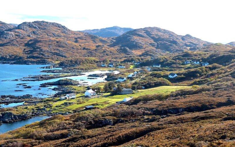 1 min by roadThings to doPortuairkThe most westerly settlement on the British mainland, a scatter of cottages on Ardnamurchan with small white beaches and rock pools to explore.
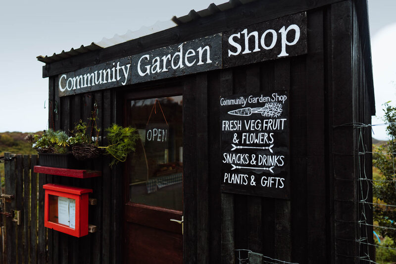 4 min by roadThings to doWest Ardnamurchan Garden Community ShopA community garden's self-service shop on the lighthouse road out of Kilchoan, selling its own vegetables by honesty box.
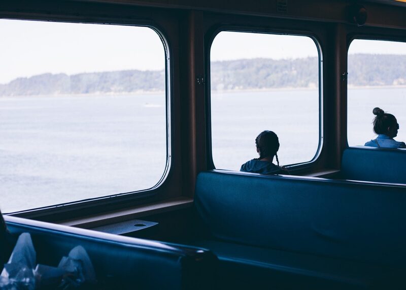 11 min by roadThings to doKilchoan to Tobermory FerryThe short CalMac crossing from Kilchoan on Ardnamurchan to Tobermory on Mull, a turn-up-and-go ferry with fine views across the Sound.
Places to stay near the walk
Our places to stay nearest the start, by road.
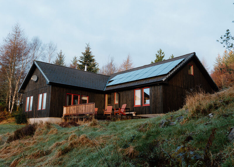
None of ours is close to the start. The nearest is Borradill House in Glenborrodale, 18 miles from the start. Sleeps 6. An advert.
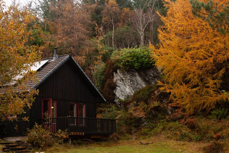
Then Borradill Cottage in Glenborrodale, 18 miles from the start. Sleeps 4. An advert.
More walks near here
Within a short drive of the start.
Did this walk?
Tell the next person how it went. The best go on this page, with your name.
For further reading, before you go.
Maps from OpenFreeMap © OpenMapTiles, data © OpenStreetMap contributors; heights from Mapzen's terrain tiles.