
The Borestone – From Bannockburn Round by Coxet Hill
About 3.7 miles on foot.
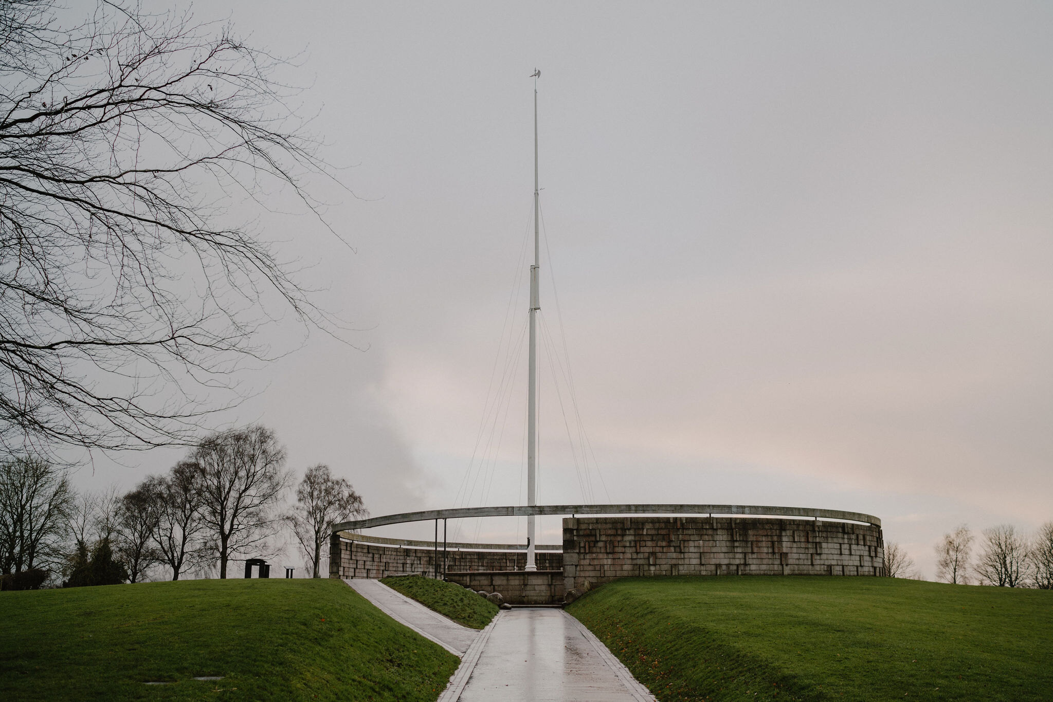
The flagpole and the Rotunda on the battlefield of Bannockburn are also the start of a signed heritage trail.
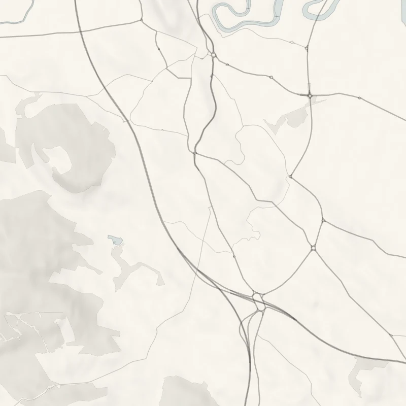
It goes out to the village of Chartershall, along an old farm track and back by Coxet Hill, once part of the royal park of Stirling Castle. It is a round of 6 km, half of it in the country and half in the town.
- Time
- About an hour and a quarter at a steady pace: a signed round of 6 km (about three and three-quarter miles); allow two hours with the monuments.
- The path
- Paved paths at the monuments, then a road, a farm track shared with bikes and horses, a path over Coxet Hill and pavements.
- Where to start
- The battlefield's car park, off the A872 Glasgow Road about 2 miles south of Stirling.
- When to go
- All year in daylight. From mid October to March the farm track is likely to be muddy, and from November to January set off by 1.30pm.
- Dogs
- Under close control: cattle and sheep graze beyond the main paths at the battlefield.
- Children
- Long for small legs, with a road bridge over the motorway and street crossings in St Ninians.
- Toilets
- None while the visitor centre is shut.
- Before you set out
- The trail crosses the motorway on a road bridge.
The walk
The walk starts on the battlefield, at the tall flagpole and the stone ring of the Rotunda. A stone here, the Borestone, is said to have marked the spot where Robert the Bruce raised his standard in 1314, and it gave this side of Stirling its name. From the monuments the trail heads into the country: the village of Chartershall, a bridge over the motorway, and Tinkers' Loan, an old track between the fields that walkers share with bikes and horses.
It comes back along a path lined with trees over Coxet Hill, which was once part of the royal park and hunting ground of Stirling Castle. Look out here for the castle and the Old Town, with the Ochils and the hills of the Trossachs beyond. The last stretch is on pavements through St Ninians.
The whole round is 6 km, about three and three-quarter miles, and takes an hour and a quarter at a steady pace.
If it rains
Half the walk is open farm track and half is pavement. In rain the track is the wet part, and there is no shelter at the monuments.
Before you go
Book accommodation nearby
If you are staying over: here are ours nearest where the day starts and ends.
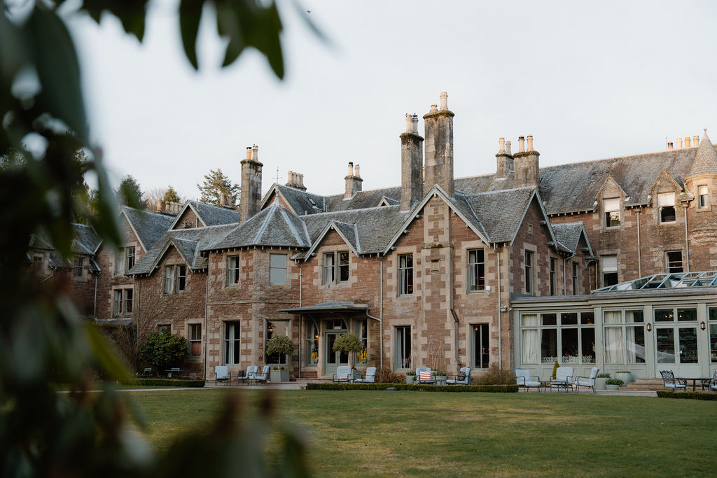
The nearest of ours is Cromlix, 10 miles away.
For further reading, before you go.