
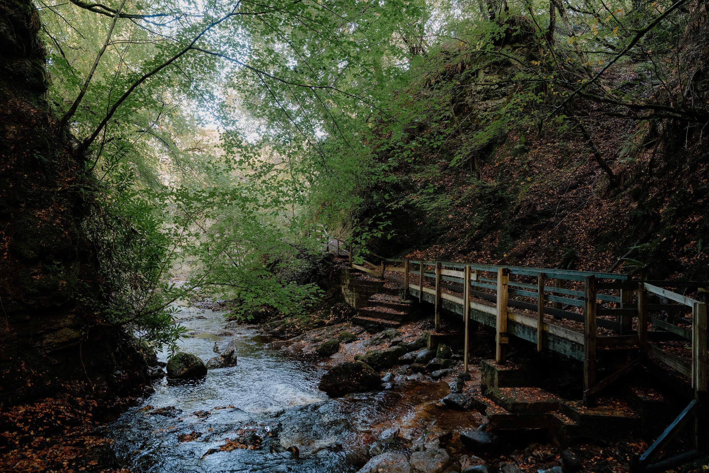
The Big Burn – Footbridges up a Wooded Gorge to a Waterfall
About 1.9 miles on foot.
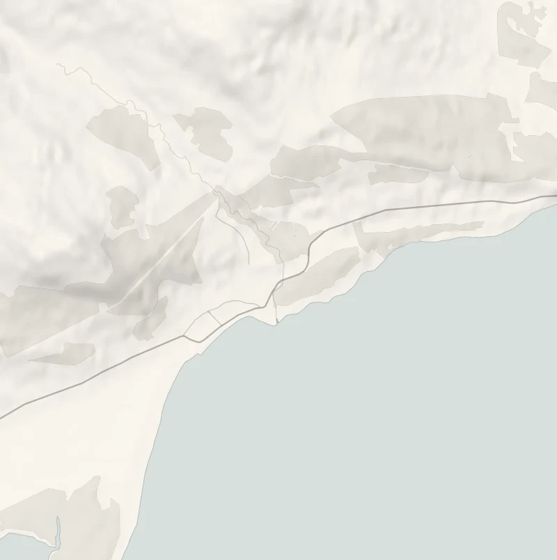
Behind Golspie a burn has cut a deep, narrow gorge through the woods, and a path goes up it on a string of timber footbridges and boardwalks.
At the top the water comes down in white falls you don't see until the last bend. It's a walk of about an hour from the edge of the village, with an inn a minute from the car park.
- Time
- About an hour: a round of 3 km, just under two miles, with about 80 metres of climbing. An easy walk with steps.
- The path
- Woodland paths with steps, footbridges, boardwalks and a few steep stretches. Muddy after rain.
- Where to start
- The gravel car park at the east end of Golspie, beside the A9 just before its bridge over the burn. Free.
- When to go
- All year in daylight. After heavy rain the boards are slippery and the burn runs high, so give it a day to settle. A footbridge above the waterfall was reported closed in summer 2026.
- Dogs
- Under control on the bridges and boardwalks.
- Children
- Bridges to cross and a waterfall at the end. Keep children close on the boards and above the water.
- Toilets
- None on the walk: the nearest public toilets are by Shore Street in Golspie.
- Before you set out
- A footbridge above the waterfall was reported closed in summer 2026: come back down the gorge the way you went up. If the gorge path is shut, the fall is five minutes down a steep path from the upper car park on Nursery Road.
The walk
Park in the gravel car park at the east end of Golspie, beside the A9 just before its bridge over the burn. It's free. The Big Burn comes down from the hills behind Ben Bhraggie through a deep wooded gorge, and the walk goes up it from here. It passes under the railway viaduct, then crosses the water again and again on timber footbridges and boardwalks, with mossy rock walls close on either side. At the head of the gorge the burn drops in a run of white falls that stay out of sight until the last bend.
Venture North, the area's tourism body, gives the round as 3 km, just under two miles, and grades it easy. Allow about an hour. It's woodland path all the way, with steps and a few steep stretches. It's muddy after rain, and the boards are slippery when wet. A footbridge above the waterfall was reported closed in the summer of 2026, so plan to come back down the gorge the way you went up, and never pass a barrier.
If the gorge path itself is shut, the waterfall can still be reached from the upper car park on Nursery Road, the minor road that leaves the A9 just beyond the village. The car park is half a mile up, and a steep path with steps drops from it to the fall in about five minutes. Keep children close on the bridges and above the water, and keep dogs under control. The nearest public toilets are by Shore Street in the village.
If it rains
The trees keep off a shower and the fall is at its best after rain, but the boards and steps get slippery and the path muddy. In a downpour, eat first at the inn and walk when it eases.
Afterwards
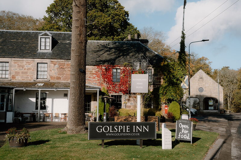
Golspie Inn
Lunch
The Golspie Inn is a minute's walk from the car park, a stone inn hung with red creeper in autumn. It opened in 1808 as the Sutherland Arms. The kitchen serves every day from 8am, when breakfast starts, through to last orders for dinner at 9pm, so lunch is there whenever you come off the path. Dogs are welcome, and there's free parking at the inn if you'd rather start the walk from its door. For a bigger party ring 01408 633234. Over Christmas and New Year, check before going.
Before you go
Book accommodation nearby
If you are staying over: here are ours nearest where the day starts and ends.
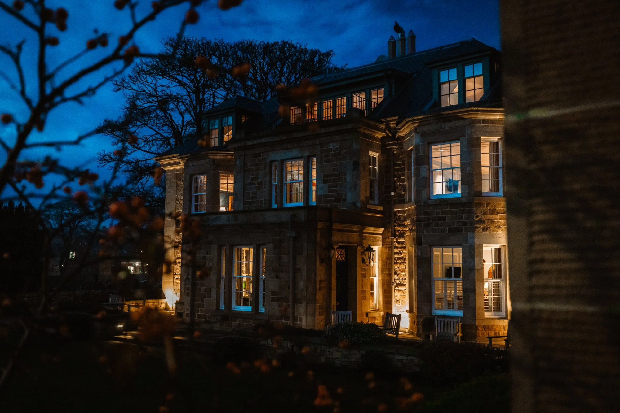
The nearest of ours is Links House at Royal Dornoch in Dornoch, 7 miles away.
Where to eat
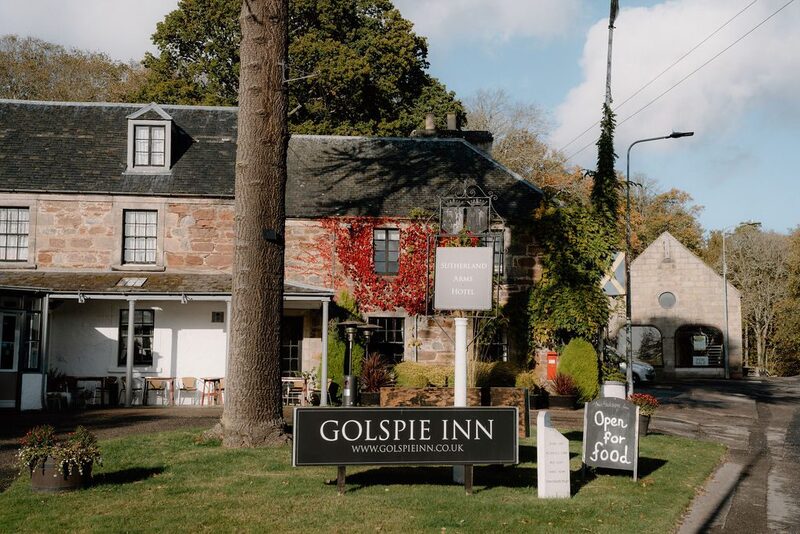
Golspie Inn, a restaurant in Golspie.
For further reading, before you go.