
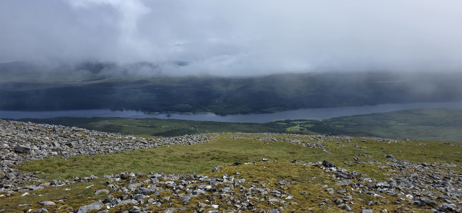
Carn Liath – Past Na Cnapanan to the Creag Meagaidh Crest
About 5½ miles on foot.
Carn Liath, 1,006 metres, is one of the three Munros of the Creag Meagaidh range, above Loch Laggan.
The usual way up starts from the nature reserve's car park at Aberarder, climbs through the birch wood of Coire Ardair and past Na Cnapanan to the broad summit crest, and comes back the same way. By our map it is about 8½ km there and back with about 750 metres of climb, and it takes about 4 to 5 hours there and back, by our map's distance and climb. The path through the birches is muddy and its start easily missed, and steep slopes and crags fall from the crest to the south. It is a day for experienced hillwalkers who can find their way with a map and compass.
- Time
- About 4 to 5 hours there and back, by our map's distance and climb: about 8½ km (5¼ miles) and about 750 metres of climb by our map. From the nature reserve's car park at Aberarder up the Coire Ardair path into the birch wood, then by a hill path past Na Cnapanan to the broad summit crest and the summit, 1,006 metres, and back the same way.
- The path
- A gravel path and stone steps to the Coire Ardair path, then a faint hill path through the birches, muddy and wet after rain. A long steep slope climbs to a broad, stony summit crest, with steep slopes and crags to the south.
- Where to start
- The Creag Meagaidh National Nature Reserve's large car park at Aberarder, on the A86 by Loch Laggan, about 18 miles west of Newtonmore. It often gets busy, and there is no set charge, though a donation is asked for its upkeep, Steven Fallon says.
- Set off
- By car on the A86 between Spean Bridge and Newtonmore, about halfway along Loch Laggan.
- When to go
- All year in daylight, on a clear day with a good forecast.
- Dogs
- Keep dogs under close control on the hill and in the nature reserve, and on a lead near livestock.
- Children
- A Munro of 1,006 metres with about 750 metres of climb, a muddy, easily missed path through the birches and steep slopes and crags off the crest. The weather can close in fast. For older children used to hill days, with an adult who can navigate.
- Toilets
- Wild Lochaber lists a toilet at the information point in Aberarder farmhouse, about 450 metres up the path from the car park by our map. None on the hill.
- Before you set out
- Under snow it is a winter mountain, with cornices above steep slopes: read the Creag Meagaidh avalanche forecast, and no forecast is no sign there is no risk. NatureScot keeps the land south of the ridge, and the Heading for the Scottish Hills tables record no stalking issues there.
The walk
The usual way up Carn Liath starts from the nature reserve's car park at Aberarder, above Loch Laggan, and comes back the same way. It climbs past the farmhouse at Aberarder and up the Coire Ardair path into the birch wood, then by a hill path past Na Cnapanan to the broad summit crest. By our map it is about 8½ km (a little over 5 miles) there and back, with about 750 metres of climb. Allow about 4 to 5 hours there and back, by our map's distance and climb, more with stops, in poor weather or under snow. The summit is 1,006 metres up. No public body publishes this way, a distance or a time for it.
Carn Liath is one of the three Munros of the Creag Meagaidh range, in the Creag Meagaidh National Nature Reserve, which NatureScot looks after. It is not the Carn Liath on Beinn a' Ghlo in Atholl. Its summit is a gentle rise on a broad ridge that runs north-east for more than 4 km, MunroMagic says. Many walkers go on west along the ridge to Stob Poite Coire Ardair, and some to Creag Meagaidh as well, Steven Fallon says, and a longer way comes in from Garva Bridge to the north-east. This walk keeps to Carn Liath.
Aberarder is on the A86 between Spean Bridge and Newtonmore, about halfway along Loch Laggan and about 18 miles west of Newtonmore. The reserve's large car park is below the buildings at Aberarder. It often gets busy, Steven Fallon says, and there is no set charge, though a donation is asked for its upkeep. Wild Lochaber lists a toilet at the information point in Aberarder farmhouse, about 450 metres up the path by our map. We know of no café, shop or fuel at the start.
Before you set off, check the mountain forecast, and under snow the avalanche forecast too. It grows colder as you climb, about 1°C for every 100 metres, and the wind usually rises with height, MunroMagic says. Cloud can come down fast, and burns can rise markedly in a day. Wear good walking boots and carry warm, waterproof clothing, food and drink. Carry a map and compass and know how to use them: Steven Fallon rates the navigation on these hills as difficult. Phone reception in the Highlands is often patchy or missing, Mountaineering Scotland says. Leave word with someone of where you are going and when you will be back.
From the car park a gravel path leads west up to the farmhouse at Aberarder, where there is an information point, about 450 metres on by our map. Pass round the right of the house, cross a bridge and climb stone steps by a wall to a viewpoint with an information board. Take the path to the right, signed for Coire Ardair, which climbs into the birch wood. About 400 metres on, by our map, a small cairn on the right, by a tiny stream, marks where a faint path leaves it. The cairn is a very small pile of stones and easily missed. The Coire Ardair path goes on west to Lochan a' Choire, the way to Creag Meagaidh: it is not this walk.
The faint path climbs north through the birches, in and out of the edge of the wood. It is muddy, and after rain it can run like a stream, one guide says. Keep to it: a path that drifts left, deeper into the wood, is very hard going. Above the trees the path levels out just west of Na Cnapanan, about 2.4 km from the car park and about 620 metres up by our map.
From Na Cnapanan the path bends north-east round steep ground, then turns north-west up the long slope. By our map this slope and the climb through the birches are the steepest of the walk, about 30 metres of climb in every 100 metres. The path reaches the broad, stony summit crest about 990 metres up, south-west of the top. Turn right, north-east, along the crest for about 240 metres by our map to the large summit cairn, 1,006 metres. The crest path also runs west to Meall an t-Snaim and Stob Poite Coire Ardair: it is not this walk. If the cloud is coming down, the wind is rising or anyone is tiring, turn back before the crest.
MunroMagic lists steep slopes on or near the way up, and crags within a kilometre of the summit. South of the crest the ground falls steeply to the crags of Coire nan Gall and Coire Dubh, and west of the Na Cnapanan ridge steep heather slopes drop into Coire Ardair, MunroMagic says. Steven Fallon warns that in mist careful navigation is needed from the summit, where the paths are faint. Note the place where you came up onto the crest.
Under snow Carn Liath is a winter mountain, for walkers with winter skills, an ice axe and crampons; one guide allows up to 2 hours more. The hill is in the Scottish Avalanche Information Service's Creag Meagaidh forecast area: read the forecast before you go. On 4 April 2026 the service's forecaster recorded a small slab avalanche in Coire Dubh, on the Carn Liath massif. It was set off by a falling cornice on a steep east-facing slope at 900 metres. Keep well back from corniced edges. When there is no forecast, that does not mean there is no risk.
NatureScot keeps the land south of Creag Meagaidh and the ridge to Carn Liath, and the Heading for the Scottish Hills tables record no stalking issues there. On the hills round about, stags may be stalked at any time of year, busiest in the first three weeks of October, and hinds from 21 October to 15 February, Mountaineering Scotland says. Follow any local notices, and if in doubt keep to the well-known way.
The way down is the way you came: back south-west along the crest to where the path drops off it, down the long slope and round past Na Cnapanan. Then go down through the birches to the Coire Ardair path, and back past Aberarder to the car park. In cloud, check the line with your map and compass before you leave the summit, and again where the path leaves the crest. In an emergency call 999 or 112 and ask for Police and Mountain Rescue. Give a six-figure grid reference and a named feature if you can, Mountaineering Scotland says. To be able to text 999 where a call will not connect, register first by texting the word register to 999.
If it rains
None on this walk: in rain, low cloud or a high wind, leave the summit for another day. The path through the birches is muddy and can run like a stream after rain, and the summit crest is broad and stony, with steep slopes and crags to the south.
Before you go
Book accommodation nearby
If you are staying over: here are ours nearest where the day starts and ends.
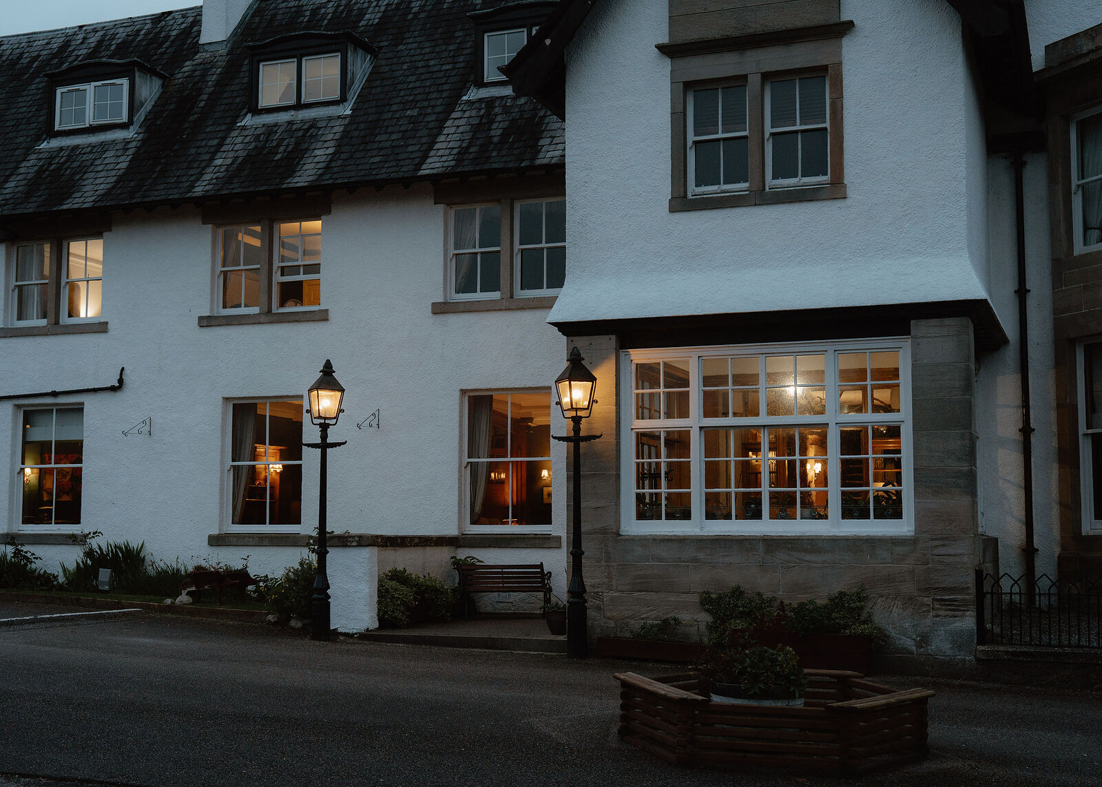
The nearest of ours is The Lovat Hotel in Fort Augustus, 15 miles away.
Find out more
For further reading, before you go.
- Carn Liath, the Munro page, Hidden Scotland↗
- Heading for the Scottish Hills: stalking round Creag Meagaidh and the Monadhliath, Outdoor Access Scotlandoutdooraccess-scotland.scot↗
- Deer stalking, Mountaineering Scotlandmountaineering.scot↗
- Calling for help, Mountaineering Scotlandmountaineering.scot↗
- The West Highlands forecast, the Mountain Weather Information Servicemwis.org.uk↗
- The Met Office's North Grampian mountain forecastweather.metoffice.gov.uk↗
- The Creag Meagaidh avalanche forecast, Scottish Avalanche Information Servicesais.gov.uk↗
Photograph by DL via Google
Maps from OpenFreeMap © OpenMapTiles, data © OpenStreetMap contributors; heights from Mapzen's terrain tiles.