
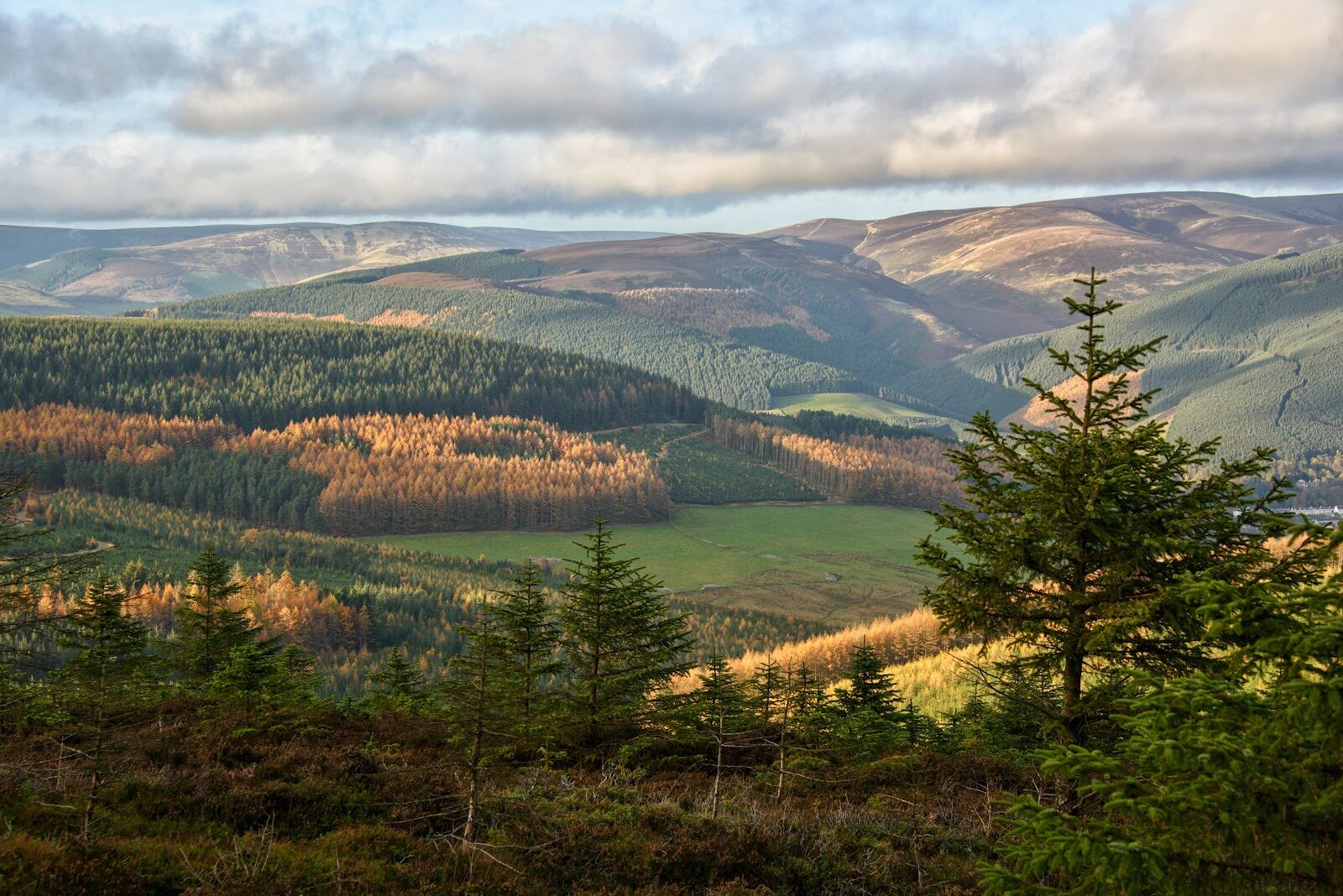
Minch Moor – The Old Drove Road and the Cheese Well
About 6.2 miles on foot.
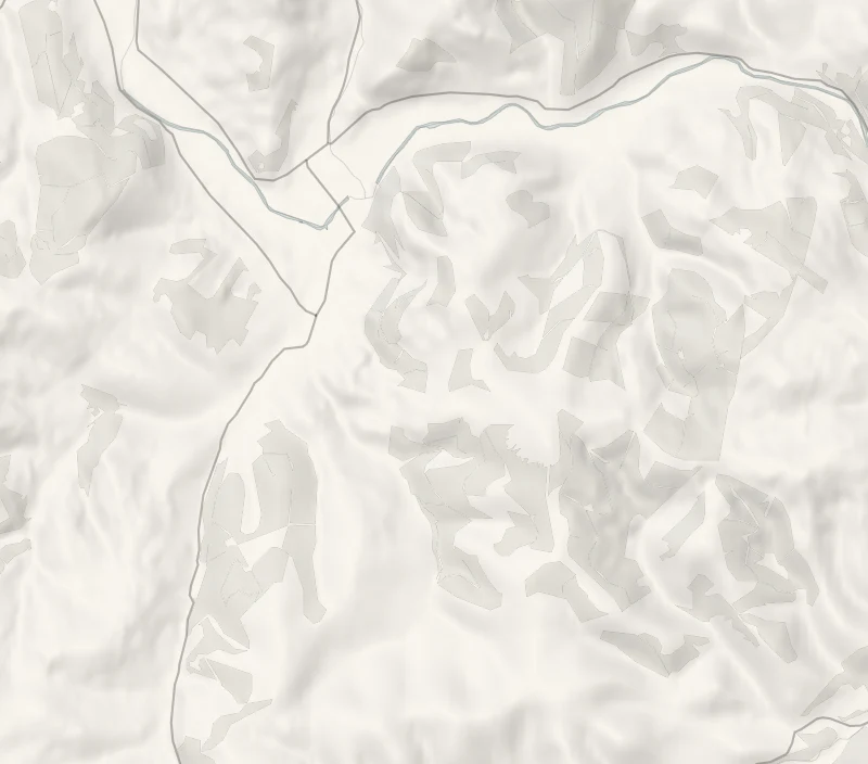
The old road over Minch Moor climbs out of the quiet village of Traquair and keeps on climbing, through forest and out onto a high heather ridge between the Tweed and the Yarrow.
Drovers walked their cattle and sheep over it for centuries, and near the top they passed the Cheese Well, a spring where travellers left a little food for the fairies. It's a ten-kilometre round with 410 metres of climb, and from the summit you see right round the central Borders.
- Time
- About four hours: a round of 10 km, or six miles, with 410 m of climb, on the council's figures.
- The path
- Forest tracks, a stony hill path and open heather moor, with a long steady climb. Boots.
- Where to start
- Traquair village hall, on the B709 about a mile and a half south of Innerleithen.
- When to go
- All year in daylight, in clear weather. Felling in Yair Forest, farther east on the Southern Upland Way, runs until January 2027, and the Way stays open. From November to January set off by 10.30am.
- Dogs
- Under close control: sheep graze the hill.
- Children
- A hill walk of six miles with a long climb: for children who are used to a day on the hill.
- Toilets
- None at Traquair village hall. The nearest are at the west end of Innerleithen's main street.
- Before you set out
- A hill of 567 m: carry a map, compass, waterproofs and warm clothes. Felling in Yair Forest, farther east on the Southern Upland Way, runs until January 2027, and the Way stays open.
The walk
Park at Traquair village hall, on the B709 about a mile and a half south of Innerleithen. There's plenty of room, but nothing else: no toilets and no shop, so bring food and water. The nearest public toilets are at the west end of Innerleithen's main street. The Southern Upland Way climbs out of the village on the old Minchmoor road, and for centuries this was a drove road, with cattle and sheep walked over the high ground between the Tweed and the Yarrow. It's a long, steady pull, through forest first and then out onto open heather moor. A little below the top is the Cheese Well, a spring marked by a stone carved with a thistle.
Travellers used to leave a piece of cheese here for the fairies, to see them safely over the hill. The summit of Minch Moor is 567 metres, or 1,840 feet, and on a clear day the whole of the central Borders is spread out round you. Scottish Borders Council gives the round as six miles, or 10 km, with 410 metres of climb. Allow about four hours. This is a hill, not a stroll. The top is bare and catches every wind, and the forest tracks can be as confusing as the open moor, so carry a map and compass, waterproofs and something warm.
Under snow or in low cloud it's a day for people who know winter hills. Sheep graze up here, so keep dogs under close control. Forestry and Land Scotland is felling in Yair Forest, farther east along the Way, until January 2027, and the Way itself stays open. From November to January, set off by 10.30am.
If it rains
There's no shelter on the top, and the view is the reward, so this is a walk for a clear day. In rain or low cloud keep to the valley: Innerleithen is a mile and a half down the road.
Before you go
Book accommodation nearby
If you are staying over: here are ours nearest where the day starts and ends.
The nearest of ours is The Scullery in Yarrow, 5 miles away. Sleeps 2; next free Fri 13 Nov to Sun 15 Nov.
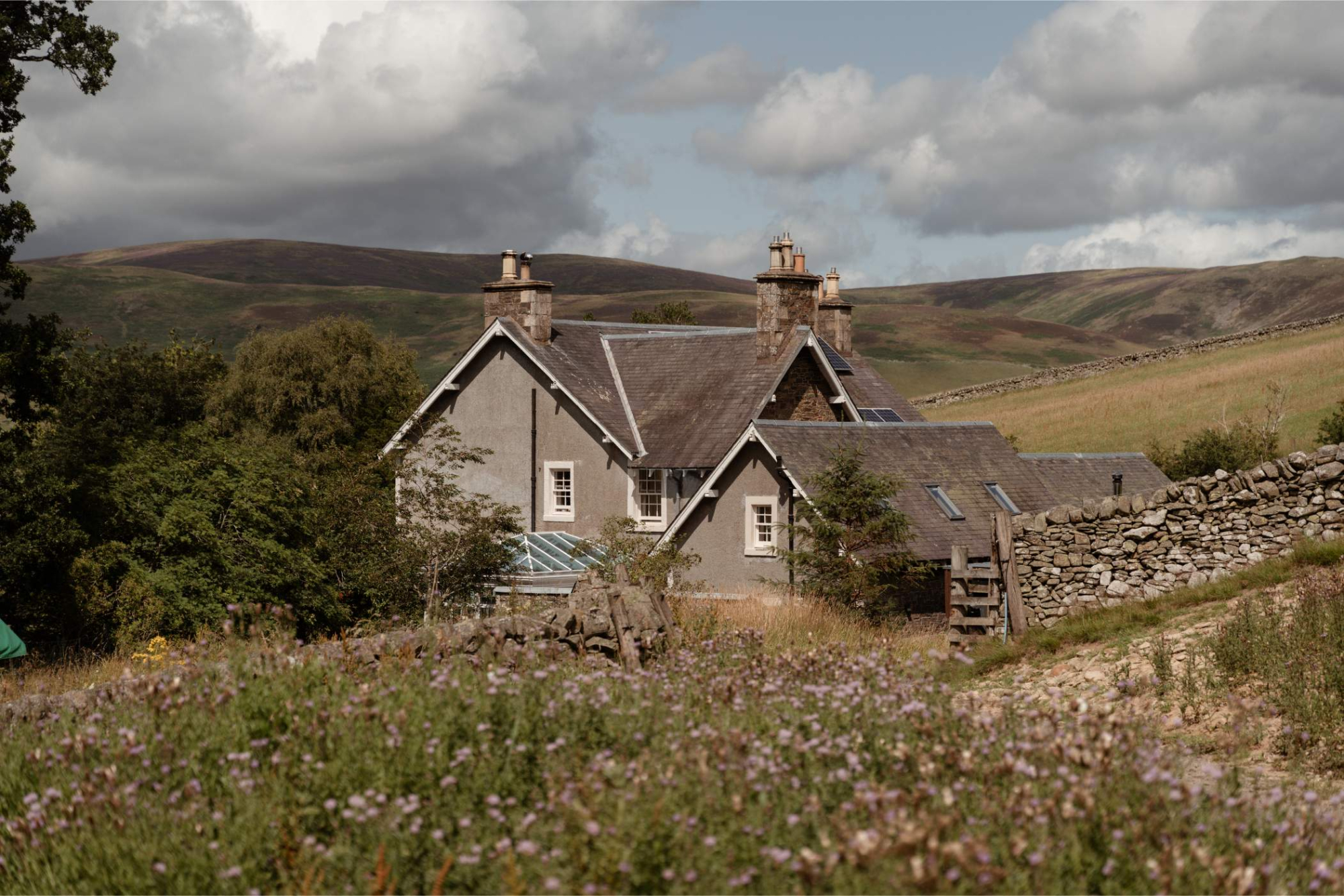
For further reading, before you go.
Photograph by Melanie Moss via Google