
Dumyat – The Small Ochil with the Big View over Stirling
About 4.3 miles on foot.
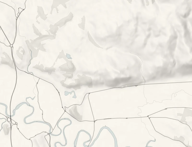
Dumyat is the craggy western end of the Ochils, the hill you see behind the Wallace Monument from all over Stirling.
It's only 418 metres high, but it stands right on the edge of the range, so the view from the top takes in the monument, Stirling and the long loops of the Forth. The path from the Sheriffmuir road above Bridge of Allan is the easy way up, two to two and a half hours there and back.
- Time
- Two to two and a half hours: 7 km, or four and a quarter miles, there and back, with 290 m of climb, on a walkers' guide's figures.
- The path
- A hill path through birchwoods and over open hillside to a rocky top. Boots.
- Where to start
- Forestry and Land Scotland's Pendreich car park, a mile up the Sheriffmuir road from Bridge of Allan, nearest postcode FK9 4LS: free during the day. The road up is steep and single-track.
- When to go
- All year in daylight, in clear weather. From late autumn the top can hold snow and ice. From November to January set off by noon.
- Dogs
- On a lead near sheep, which graze the hill.
- Children
- A good first hill for children who can manage 290 m of climb. The top is rocky and exposed.
- Toilets
- None at the car park. The nearest are in Bridge of Allan.
- Before you set out
- A hill of 418 m with a rocky, exposed top. From late autumn it can hold snow and ice.
The walk
Park at Forestry and Land Scotland's Pendreich car park, a mile up the Sheriffmuir road from Bridge of Allan. FK9 4LS is the nearest postcode. Parking is free during the day. The road up through the trees is steep and single-track, so take it slowly. There are no toilets here, and the nearest are down in Bridge of Allan.
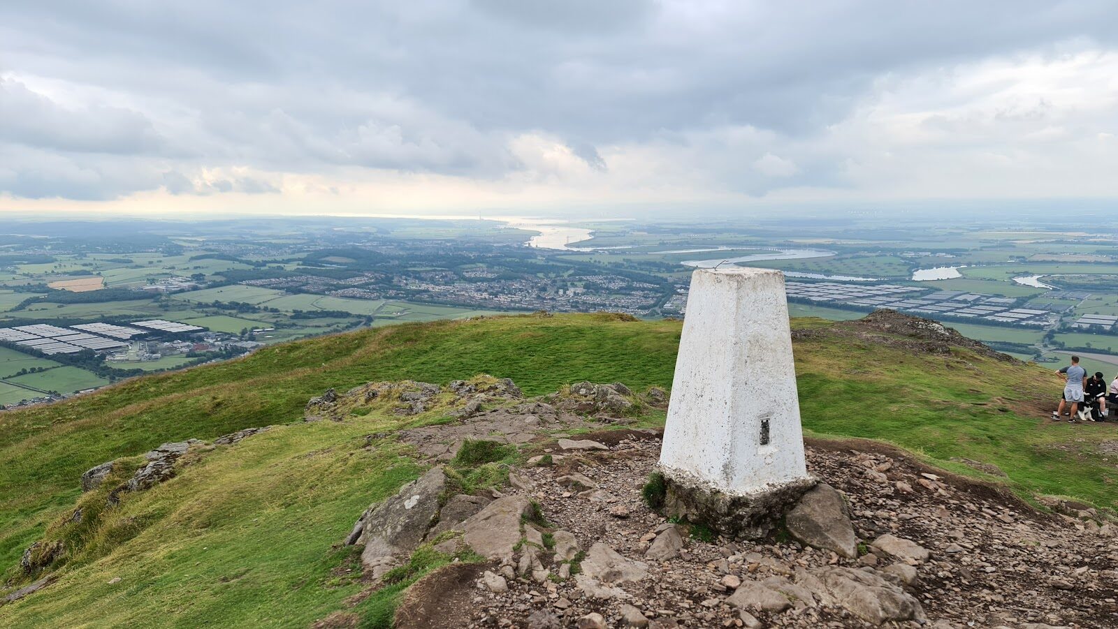
The signed path for Dumyat starts by the picnic benches and runs through birchwoods before it comes out on the open hill. Walkers' guides give the walk as 7 km, or four and a quarter miles, there and back, with 290 metres of climb, and two to two and a half hours. The name is thought to come from Dun of the Maeatae, the fort of a tribe the Romans wrote about, and the site of an ancient hillfort lies on a lower top beside the path. The summit is rocky, with a white trig point, an iron beacon basket and a memorial to the Argyll and Sutherland Highlanders. The view is the thing.
The Wallace Monument and Stirling are below you, and the Forth winds away across its flat valley to the firth. It's a fine first hill for children who can manage the climb, but the top is exposed and it's a hill all the same, so bring boots, a waterproof and something warm. From late autumn the upper path can hold snow and ice. Sheep graze the Ochils, so keep dogs on a lead near them. From November to January, set off by noon.
If it rains
The top is bare rock and grass with no shelter, and in cloud there is nothing to see, so keep Dumyat for a clear day. Bridge of Allan is a mile down the road if the weather turns.
Before you go
Book accommodation nearby
If you are staying over: here are ours nearest where the day starts and ends.
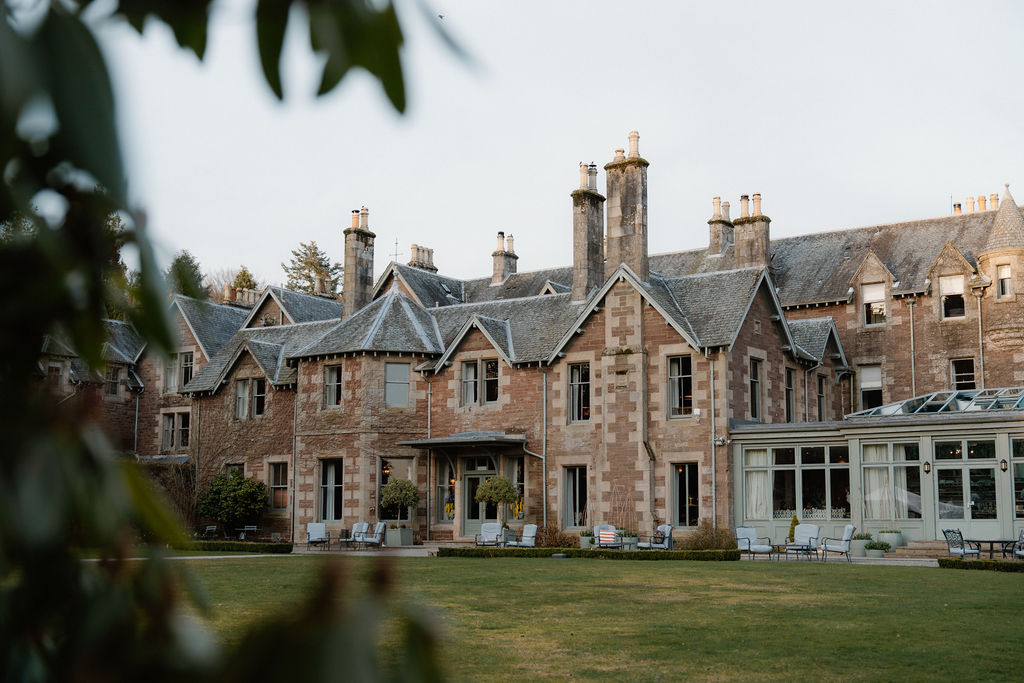
The nearest of ours is Cromlix, 6 miles away.
For further reading, before you go.
Photograph by Sean Williamson via Google