
The Ness of Burgi – An Iron Age Fort at Shetland's South End
About 2.5 miles on foot.
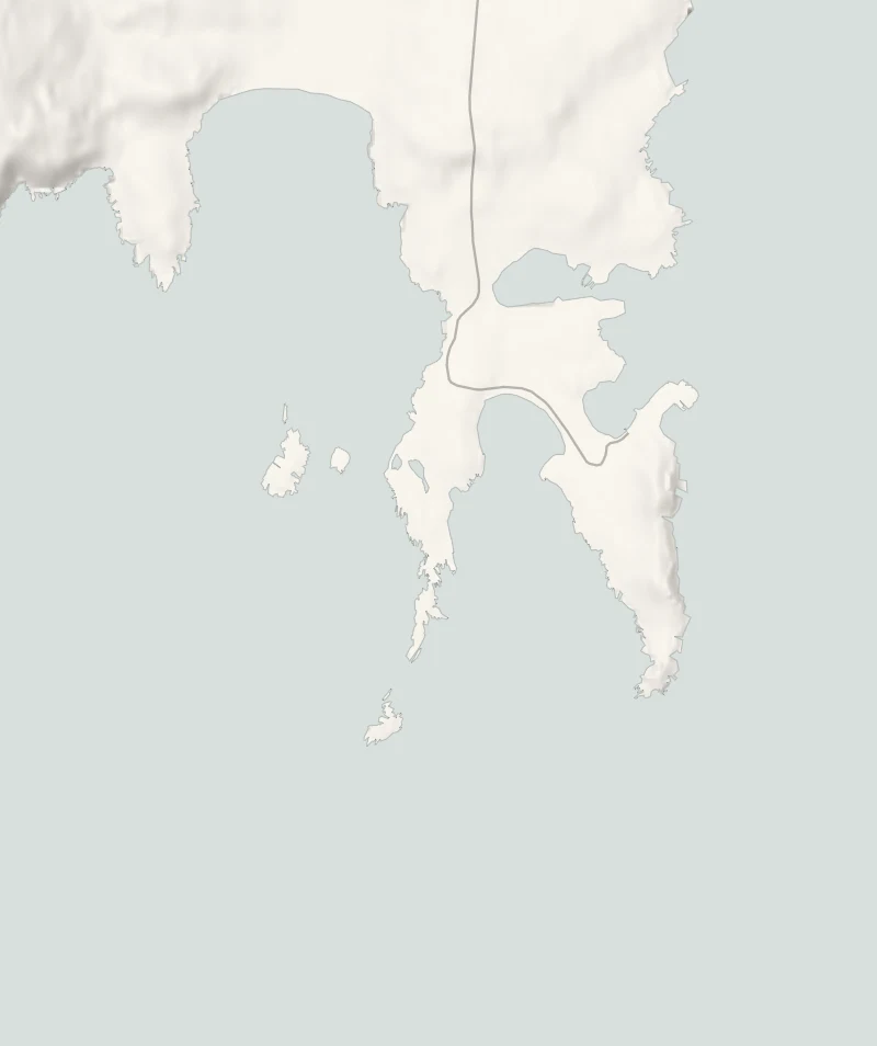
The Ness of Burgi is a narrow finger of land at the south end of Shetland, with an Iron Age fort near its tip and Sumburgh Head across the water.
The walk out to it from Scatness is about 4 km there and back, over grass, a pebble beach and one short clamber across a neck of rock with a chain to hold. It's a short walk, but that rock sits just above the sea, so it needs a calm day.
- Time
- About an hour: 4 km (2.5 miles) there and back with 40 metres of climbing, by a walkers' guide's measure. Grass, a pebble beach and one short clamber over rock with a chain to hold.
- The path
- Grass and pebbles, then a short clamber over jagged rock with a chain to hold.
- Where to start
- At the roadside at the end of the public road at the south end of Scatness. No charge. Keep the turning place and the tracks to the houses clear.
- Set off
- From November to January, set off by 1pm to be back in daylight.
- When to go
- All year in daylight, on a calm day: not in a strong wind or a heavy swell. From November to January set off by 1pm.
- Dogs
- On a lead: sheep graze the headland and the cliffs are unfenced.
- Children
- The rock neck and the cliffs need care: one for children old enough to clamber, kept close.
- Toilets
- None at the start: the nearest public toilets are on Ferry Lane at Grutness, about 2.5 km away.
- Before you set out
- The rock neck is just above the sea: not a walk for a strong wind or a heavy swell. Unfenced cliffs on three sides.
The walk
Park at the end of the public road at the south end of Scatness, off the A970 near Sumburgh Airport. There's no car park and no charge: pull in at the roadside, and leave the turning place and the tracks to the houses clear. There are no toilets here, and the nearest public ones are on Ferry Lane at Grutness, about 2.5 km away. Scotland Off the Beaten Track, a walkers' guide, gives the walk as 4 km there and back with 40 metres of climbing, and about an hour. A grassy track leads south past fields of sheep and an old round kiln, where grain from the croft was once dried over smoke. Then comes a beach of sea-smoothed pebbles with boat noosts above the tideline, the hollows where boats were hauled up out of reach of storms.
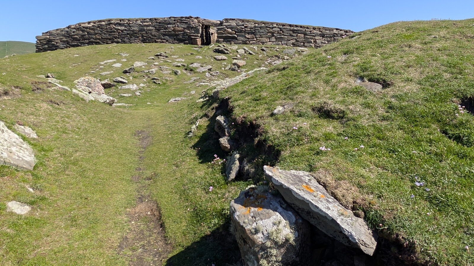
Beyond it the headland narrows to a neck of jagged rock just above the sea. This is the one awkward part: a short clamber, with a chain fixed along it to hold. It's simple on a calm, dry day. In a strong wind, in a heavy swell or when the rock is wet it isn't, so turn back if it looks doubtful. On the far side the ground opens out and the path runs level to the fort. It's a blockhouse, a kind of Iron Age building found only in Shetland: a thick stone wall about 23 metres long and 1.5 metres high, with a low passage through the middle, set behind ditches and a rampart.
It was dug in 1935, and nobody is sure what it was for. Sumburgh Head and its lighthouse stand across the water, and on a clear day Fair Isle shows to the south. There are cliffs on three sides and no fences, so keep children close and dogs on a lead, as sheep graze the headland. Don't count on finding anywhere open to eat nearby in winter: bring a flask. From November to January, set off by 1pm.
If it rains
There's no shelter on the headland and the rock neck is slippery when wet. In rain or a strong wind, keep it for another day.
For further reading, before you go.
Photograph by Patrick Hoes via Google