
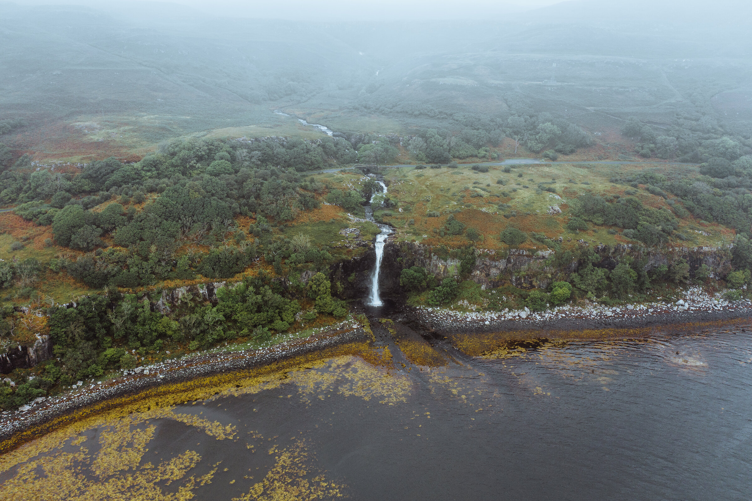
Eas Fors – A Waterfall That Drops Straight into the Sea
About 2.5 miles on foot.
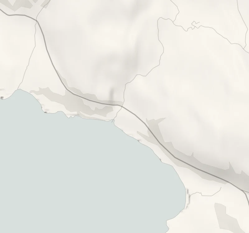
Eas Fors is a burn (a stream) on the west coast of Mull that falls in three stages, the last straight over a sea cliff onto the shore of Loch Tuath.
The upper falls are beside the road, and a short walk of about 4 km takes you down to the stony beach to see the big drop from below, with Ulva across the water. The cliff edge has no fence, and the beach is only passable when the tide is out.
- Time
- About an hour: some 4 km, or 2½ miles, with 60 metres of climb.
- The path
- Grassy paths, a road, a track and an awkward boulder beach. Not for wheelchairs or pushchairs.
- Where to start
- A small lay-by on the B8073 beside the bridge, about two and a half miles north of Ulva Ferry. Free.
- When to go
- All year in daylight, and best a day or two after rain. Go to the beach at low or falling tide. From November to January set off by 1.30pm. No ferry to Mull on 25 December or 1 January. Wind can stop the boats: look at CalMac's service status page on the morning you travel.
- Dogs
- On a lead near the cliff edge and on the farm ground.
- Children
- An unfenced sea cliff below the road: hold on to young children.
- Toilets
- None at the lay-by; the nearest are at Ulva Ferry, about two and a half miles south.
- Before you set out
- No fence above the sea cliff: stay well back. The last stretch of the beach is under water at high tide. No ferry to Mull on 25 December or 1 January. Wind can stop the boats: look at CalMac's service status page on the morning you travel.
The walk
Park in the small free lay-by on the B8073 beside the bridge over the burn, about two and a half miles north of Ulva Ferry. The upper and middle falls are a few steps from the car on grassy paths. Below them the burn goes straight over a sea cliff, and there is no fence or barrier of any kind above the drop, so stay well back from the edge and keep hold of children and dogs. To see the big fall well you go down to the shore. A walker's guide to it gives the whole outing as about 4 km, or two and a half miles, with 60 metres of climb, and allows an hour. It uses the road, a track down to the bay of Camas an Lagain and then an awkward boulder beach, and the last stretch of that beach is under water at high tide. Go when the tide is low or falling, and if the sea is in, turn round and come back by the road.
The name says waterfall twice, eas in Gaelic and fors in Norse. There are no toilets at the lay-by: the nearest are at Ulva Ferry. Bring food, as there's nowhere to eat nearby that can be counted on in winter. From November to January, set off by 1.30pm. Eas Fors is 22 miles from the ferry at Craignure, about 45 minutes' drive. Mull is reached on CalMac's car ferry from Oban to Craignure, a crossing of 50 minutes to an hour. Book the car on before you travel, and be at the pier 30 minutes before the boat sails.
On the winter timetable, from 19 October 2026 to 12 March 2027, a morning boat leaves Oban at 9.50am from Tuesday to Saturday, 9.30am on a Monday and 9.45am on a Sunday. The last one back leaves Craignure at 5pm, or at 9.10pm on a Friday or Saturday. The other way over is the small ferry from Lochaline to Fishnish, which can't be booked: in winter its last boat back leaves Fishnish at 6.05pm from Monday to Saturday and 5.10pm on a Sunday. Until 18 October the summer timetable applies, so read the times on CalMac's Oban to Craignure page. Wind can stop the boats: look at CalMac's service status page on the morning you travel.
If it rains
The falls are at their best after rain, and the upper two are a few steps from the car. In a downpour look at those and leave the shore, as the grass above the cliff and the boulders on the beach are both slippery when wet.
Before you go
Book accommodation nearby
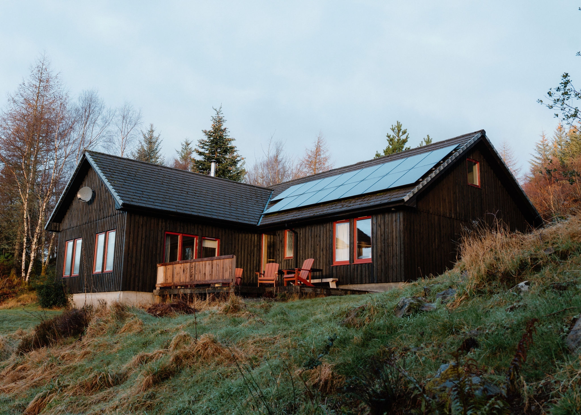
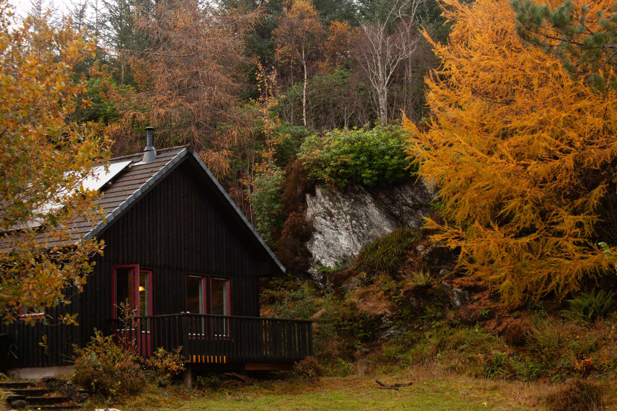
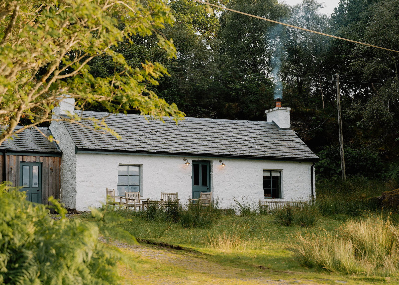
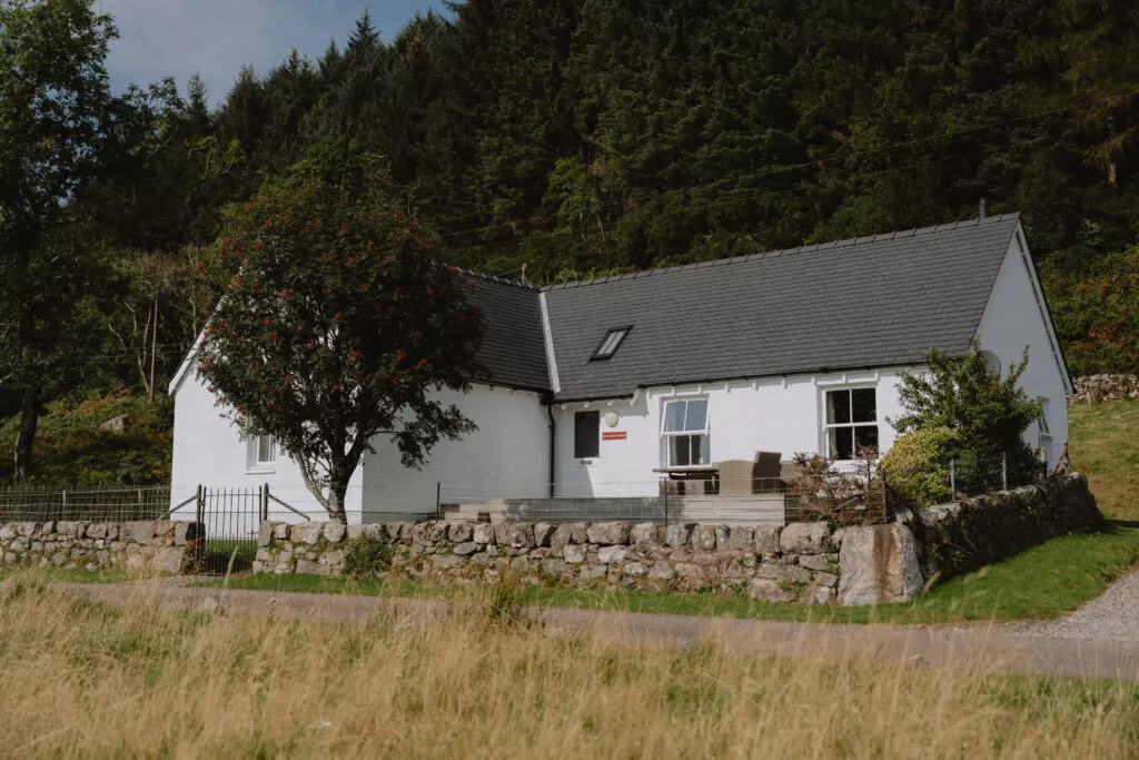
If you are staying over: here are ours nearest where the day starts and ends.
Book the car onto CalMac's Oban to Craignure ferry before you travel, out and back, and be at the pier 30 minutes before the boat.
For further reading, before you go.