
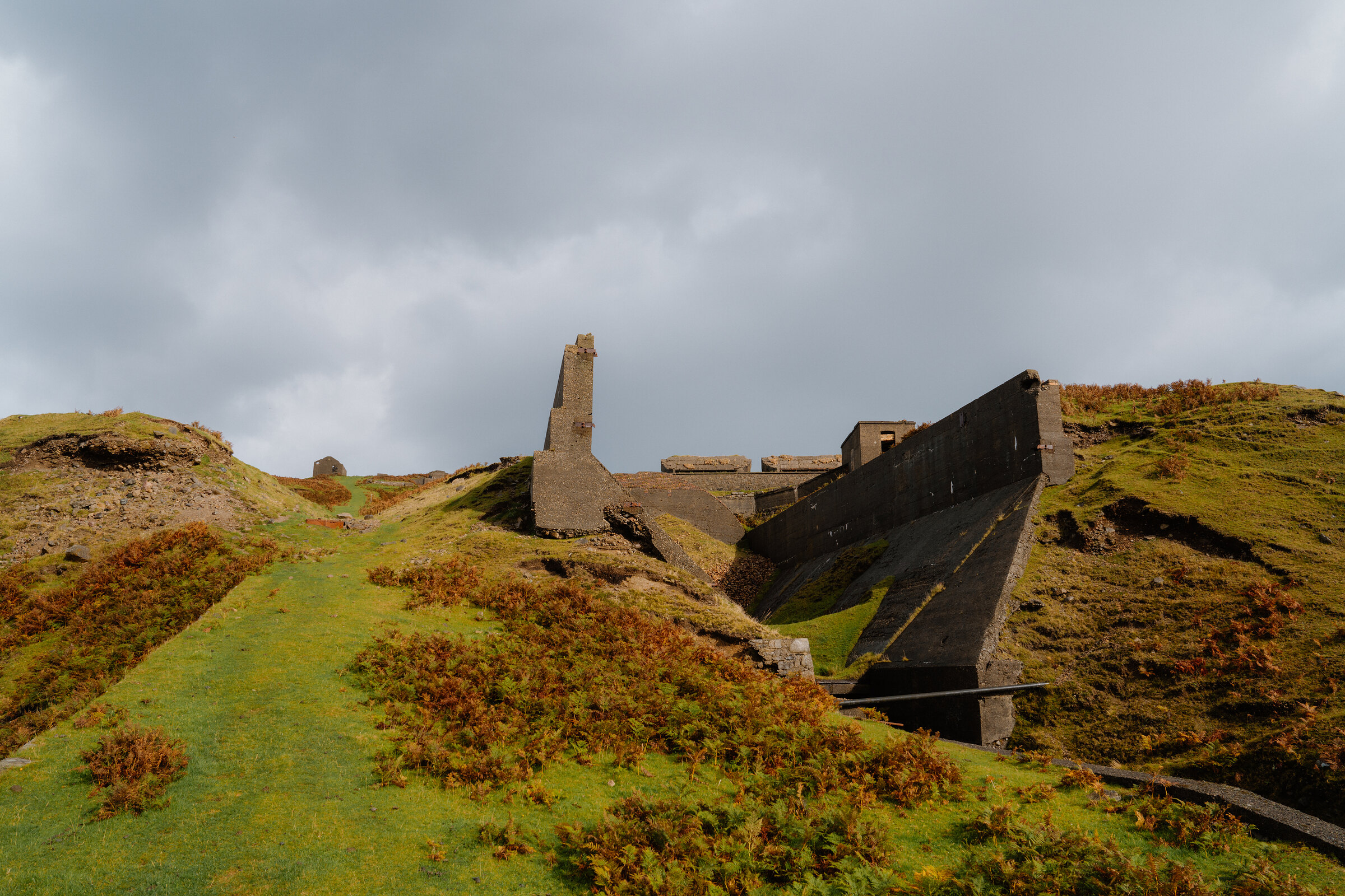
The Miners' Trail – The Line of Raasay's Iron Mine Railway
A few hours.
The route
For a few years round the First World War, Raasay had an iron mine, with a railway across the hill and a pier of its own, and German prisoners of war to work it.
Forestry and Land Scotland's Burma Road and Miners' Trail follows the old railway line on the hillside above Inverarish. It's a short walk and a steep one, and a piece of island history that's easy to miss. The trail starts up the hill beyond the village, so this is a day for taking the car over on the ferry from Sconser.
- Time
- An hour and a half: 3.9 km, a little under two and a half miles, round from the No 1 Mine car park. Graded strenuous for one long steep slope and long flights of rough rocky steps.
- Distance
- About 2.4 miles on foot.
- The path
- One long steep slope and long flights of rough rocky steps; narrow grass and earth paths, muddy in places, with two gates.
- Where to start
- Forestry and Land Scotland's main car park at No 1 Mine, on the Hallaig road beyond Inverarish, signed from the road. Postcode IV40 8NT. Free.
- Set off
- Off a morning boat, with an afternoon boat back in mind.
- When to go
- All year, by the ferry's timetable: in winter the last boat back is 6pm from Monday to Saturday and 4.30pm on Sundays. No boats on 25 December or 1 January.
- Dogs
- Under close control.
- Children
- A steep slope and long flights of rough steps, and ruined mine buildings that must not be entered.
- Toilets
- None at the car park; the public toilets are at Raasay's ferry terminal.
- Before you set out
- Rough grass and earth paths with narrow parts and muddy stretches, two gates and a length of road. The ruined mine buildings by the car park are decaying: keep out of them and out of the fenced-off areas.
Before you go
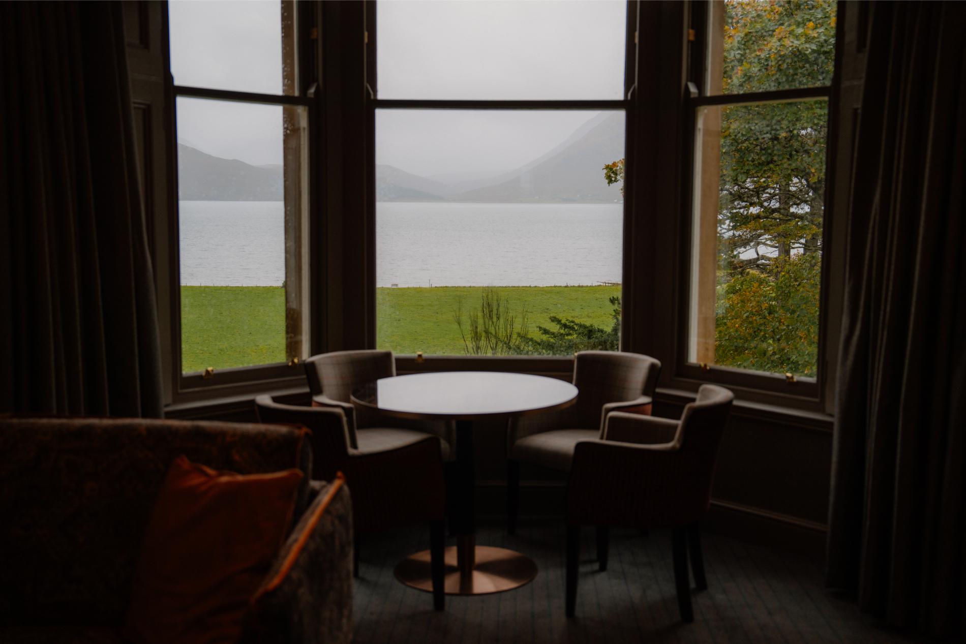
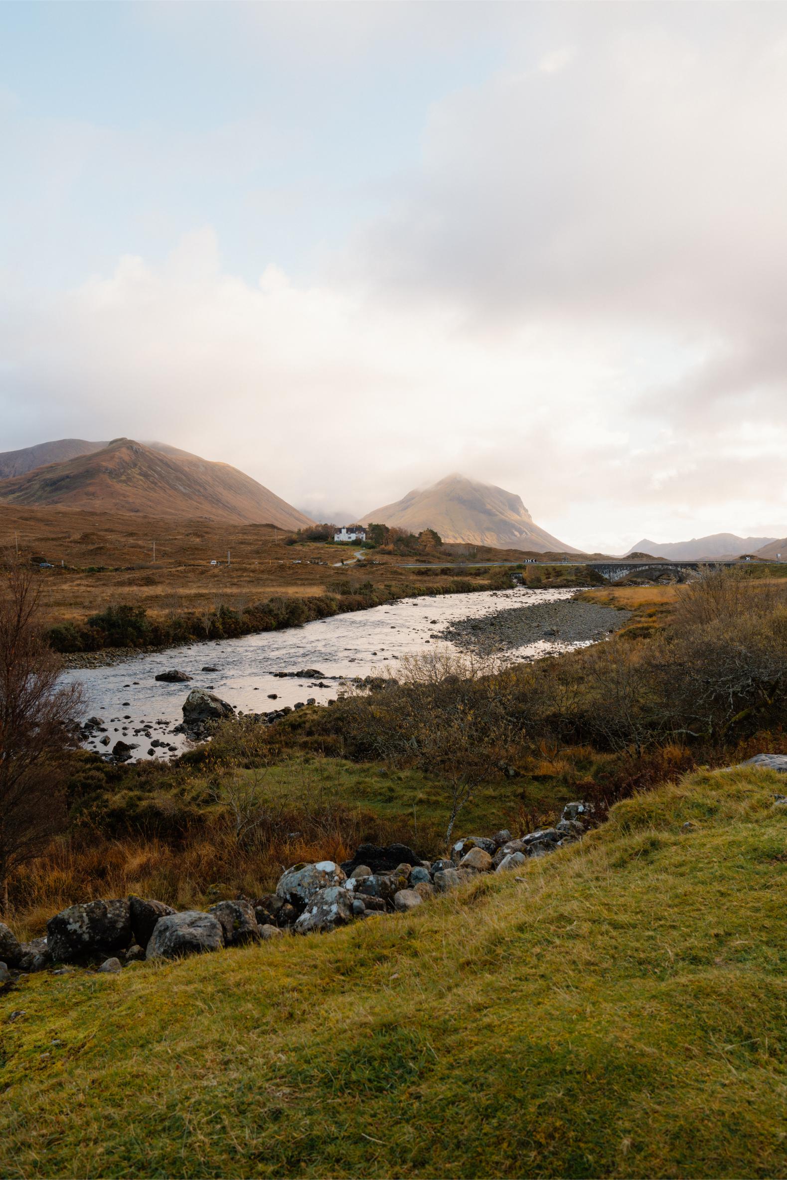
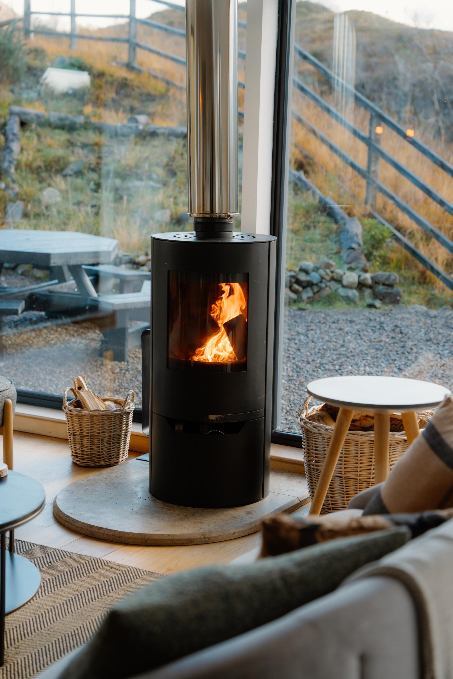
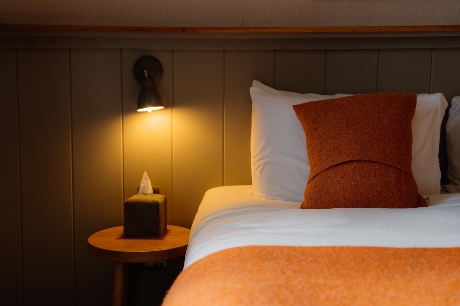
Book accommodation nearby
If you are staying over: here are ours nearest where the day starts and ends.
The day
Raasay's iron mine
Over on the Raasay ferry with the car, up past Inverarish to the old No 1 Mine, and round the hillside on the line of the railway that took the ore down to the sea.
About three and a half hours from Sconser, with both crossingsAbout 2.5 miles on foot
The ferry from Sconser to Raasay
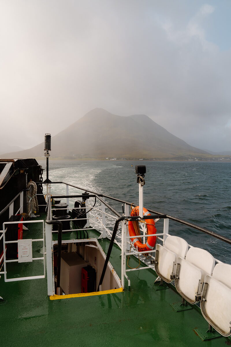
The Raasay ferry leaves from the slip at Sconser, on the A87 beside Loch Sligachan. Take the car over: the trail starts up the hill beyond Inverarish, and the island has no bus. Fill the tank first, because there's no petrol on Raasay. No sailing can be booked. Buy a ticket online before you travel, and be in the car lane at least 10 minutes before the boat sails. In summer 2026 a car was £17.50 return and an adult £5.30 return. The crossing takes 25 minutes. CalMac's winter timetable runs from Monday 19 October 2026 to 25 March 2027. On it the morning boats leave Sconser at 8.25am, 9.25am, 10.25am and 11.30am from Monday to Saturday, and the only morning boat on a Sunday is at 10.30am. Look at CalMac's service status on the day as well, as wind can stop the boat. There are public toilets at Raasay's ferry terminal.
4 min by car
The Miners' Trail
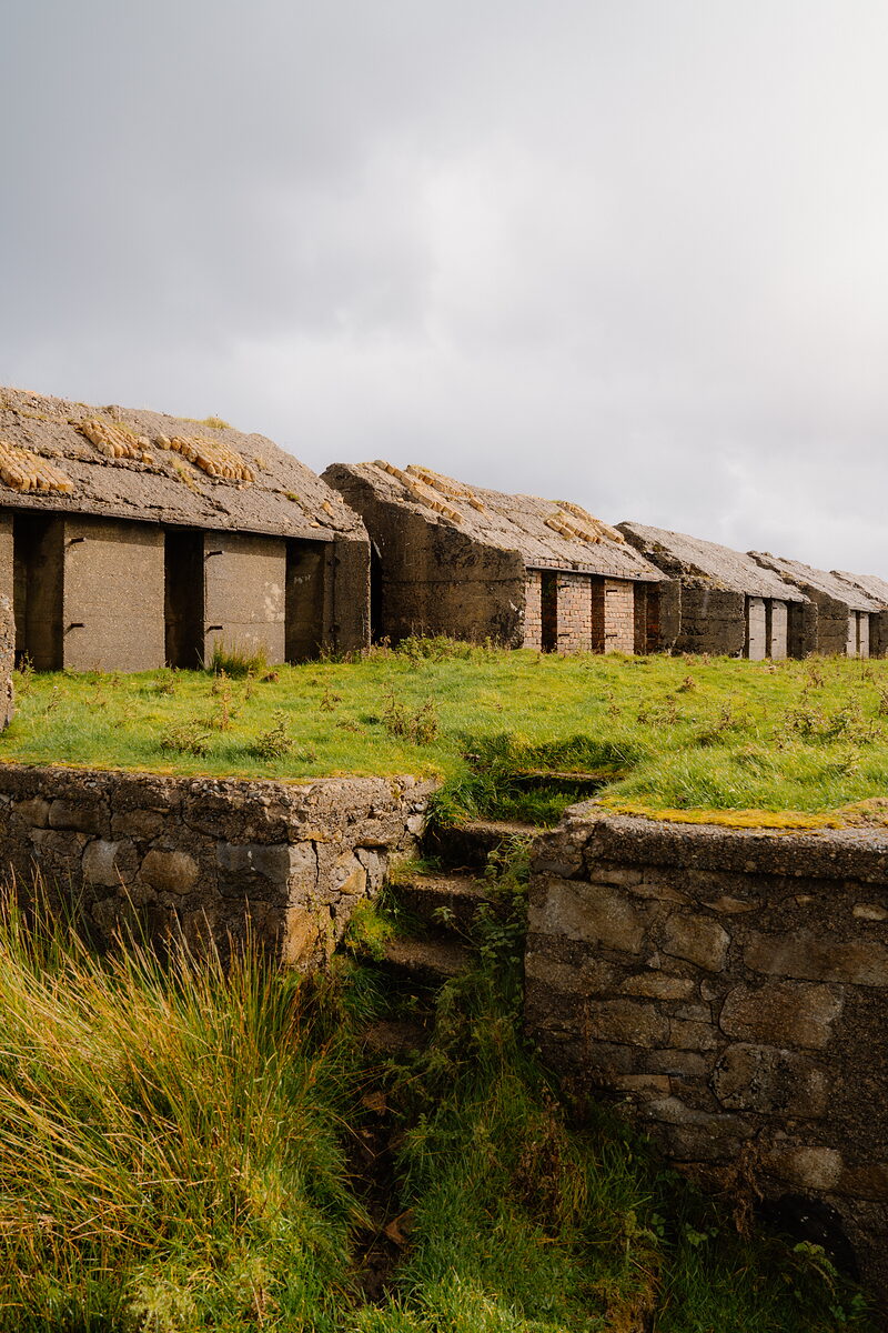
From the pier it's 4 minutes' drive, by the edge of Inverarish and up the Hallaig road, to Forestry and Land Scotland's main car park at No 1 Mine, which is signed from the road. Parking is free. The Burma Road and Miners' Trail is a waymarked round of 3.9 km from here, a little under two and a half miles, and an hour and a half is allowed for it. It's graded strenuous, for one long steep slope and long flights of rough, rocky steps. The rest is narrow grass and earth path with muddy stretches, two gates and a length of road. The trail keeps to the line of the railway that carried iron ore across the hillside above Inverarish on its way to the pier. William Baird and Company of Coatbridge began the mine in 1913. With the island's men away at the war, it was worked from 1916 by German prisoners, nearly 300 of them. Two mines were built, but only No 1, the upper one, was ever busy, and by 1920 the work had stopped. The ruined mine buildings beside the car park are crumbling, so stay out of them and out of the fenced-off areas. If you have time before the boat, drive down the road south of Inverarish to Suisnish, where the railway ended. The concrete pier is still there, with the great ore hopper and the row of kiln bases above it. They're a scheduled monument with open pits and long drops, so look from outside and keep children close. Keep dogs under close control, and check for ticks afterwards. Bring food and a flask. The island's places to eat keep shorter winter hours, and none should be counted on without ringing first.
About 5 min by car
The ferry from Raasay to Sconser
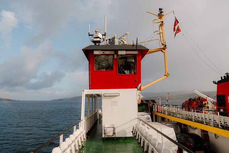
The pier is 4 minutes away by car. On the winter timetable, from 19 October 2026 to 25 March 2027, boats leave Raasay for Sconser at 12.15pm, 2.30pm, 3.30pm, 5pm and 6pm from Monday to Saturday. The 6pm is the last, except on a Saturday, when a 7.30pm boat runs only if you telephone CalMac on 0800 066 5000 by noon that day. On Sundays there are three boats back, at 10am, 12.15pm and 4.30pm, and the 4.30pm is the last. The 9.25am boat over and the 12.15pm back fit the trail on its own. To see the works at Suisnish as well, take the 10.25am over and the 2.30pm back. On a Sunday it's the 10.30am over and the 4.30pm back. No boats run on 25 December or 1 January. Miss the last boat and nothing sails until the next morning. Be in the car lane at the pier 10 minutes before the boat.
If it rains
The trail is steep, with long flights of rough steps that are slippery when wet, and the hillside is open to the weather. Wind, more than rain, is what stops the ferry: check CalMac's service status for Sconser to Raasay before you set out.
For further reading, before you go.