
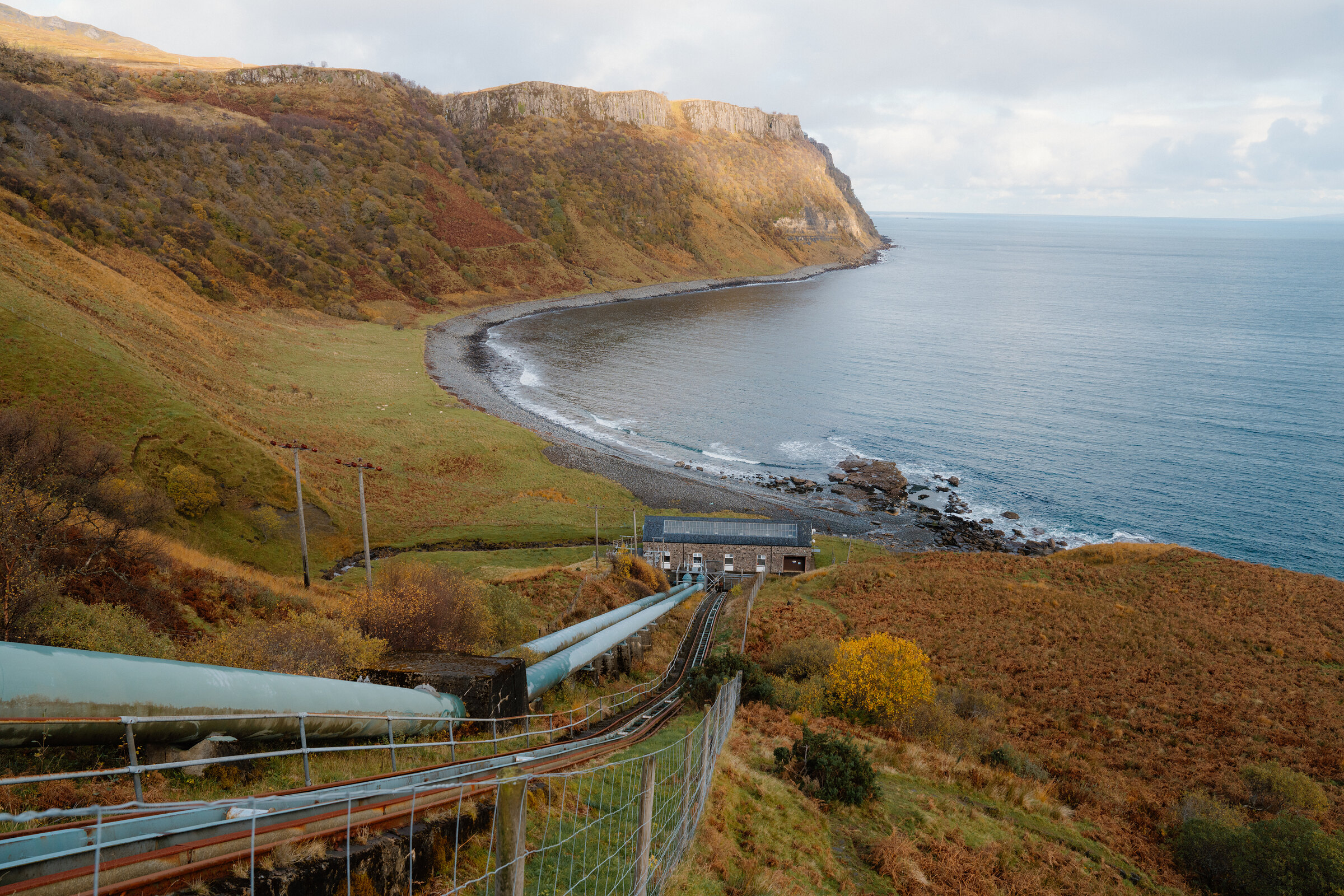
Bearreraig Bay – A Steep Path to a Shore of Jurassic Fossils
About 2 miles on foot.
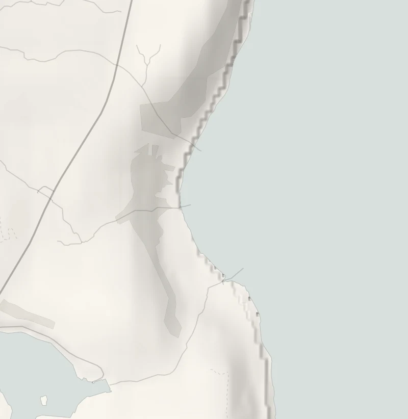
Bearreraig Bay is a quiet curve of grey stones under tall cliffs on the Trotternish coast, just below the Storr.
A very steep path drops to it beside the pipes and funicular track of a little hydro station, and Jurassic fossils lie among the boulders at the far end. It's a short walk, but the climb back up is a stiff one.
- Time
- An hour and a half to two hours: 3.25 km there and back with 153 m of climb, by Walkhighlands' figures. A very steep path.
- The path
- A hydro road, then a very steep path in zigzags and steps, with one flight cut into the rock above a big drop, where there is a handrail. A shore of stones and boulders.
- Where to start
- The parking area part way along the hydro road, before the Storr Lochs dam. The road turns off the A855 just after the lochs, coming from Portree.
- Set off
- At low tide for the fossils. From November to January, set off by 1pm.
- When to go
- All year in daylight and dry weather, best at low tide. From November to January set off by 1pm.
- Dogs
- Keep a dog close on the steep steps.
- Children
- A very steep path with a big drop beside one flight of steps, and cliffs that shed rock.
- Toilets
- None at the bay. Free toilets at the Old Man of Storr car park, close by on the A855.
- Before you set out
- A very steep path in zigzags and steps, slippery when wet. The burn by the power station is now and then too high to cross. A protected fossil site: look, and leave what you find.
The walk
Bearreraig Bay lies below the Storr Lochs, six miles north of Portree. Coming from Portree, the hydro road turns off the A855 just after the lochs, and there's a parking area part way along it, before the dam. The 57 bus from Portree stops at the road end, half a kilometre from the start: check its times before relying on it. Walkhighlands gives the walk as 3.25 km there and back, with 153 metres of climb, and allows an hour and a half to two hours. Nearly all of that climb comes on the way back up. The path down is very steep, in zigzags and steps beside the pipes and the funicular track that run down to the power station.
One flight is cut into the rock above a big drop and has a handrail. It's slippery when wet, so wear boots with a good grip, and keep a dog close on the steps. At the bottom a beach of grey stones curves away under tall cliffs. The little power station on the shore was built in 1952 and gave Skye its first public electricity supply. The funicular is the hydro's own and isn't for visitors. The burn, or stream, beside the station is usually easy to cross, because most of its water goes through the turbines, but now and then it runs too high.
The cliffs at the far end are a world reference for the rocks of the Middle Jurassic, and ammonites lie in the fallen boulders beneath them. Go at low tide to look, stay out from under the cliffs, which shed rock, and leave every fossil where it lies: the site is protected. Watch the water as well, as otters are sometimes seen offshore. There are no toilets at the bay. The Old Man of Storr car park, close by on the A855, has free ones. From November to January, set off by 1pm.
If it rains
The path is very steep and slippery when wet, so keep this for a dry day. After heavy rain the burn by the power station can be too high to cross.
Before you go
Book accommodation nearby
If you are staying over: here are ours nearest where the day starts and ends.
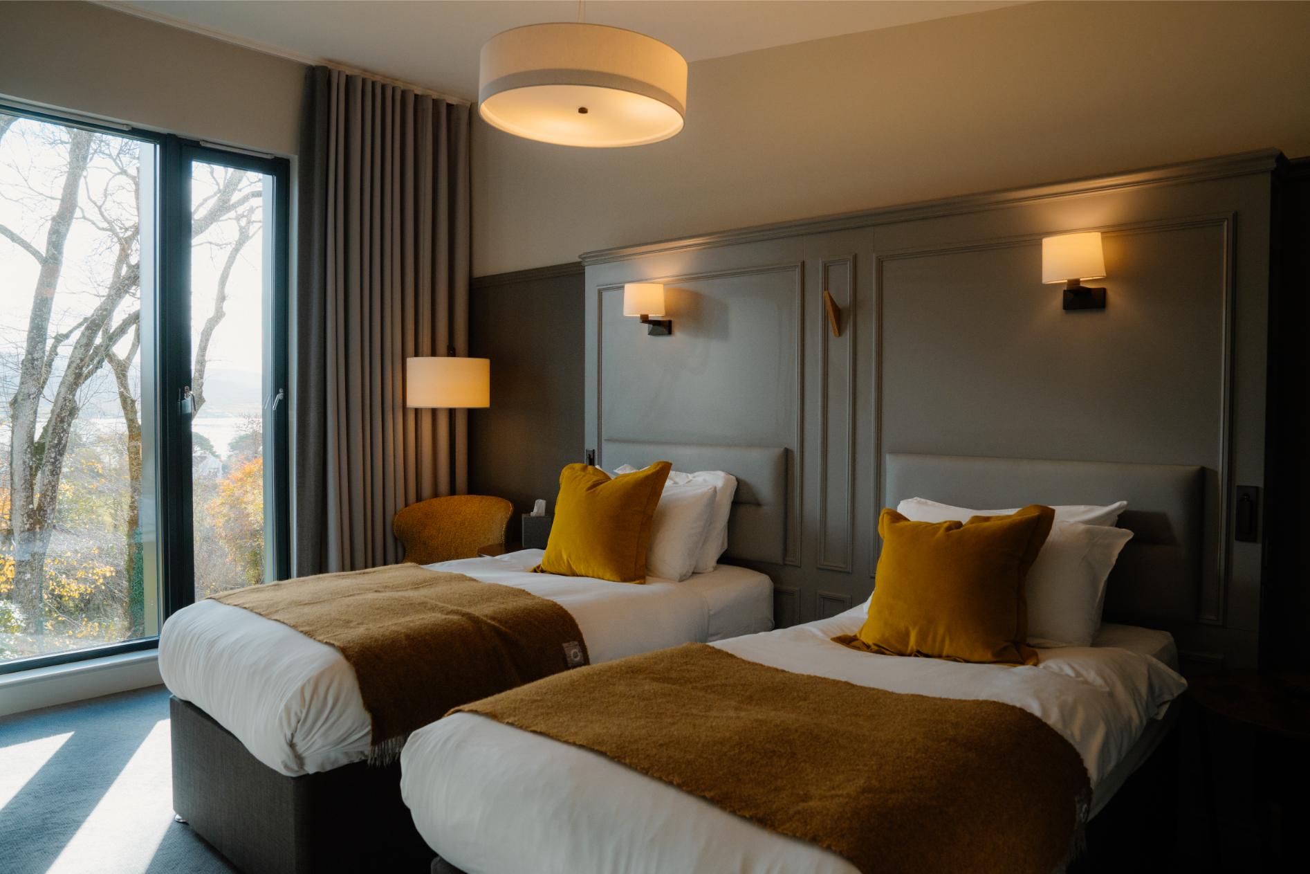
The nearest of ours is Cuillin Hills Hotel in Portree, 6 miles away.
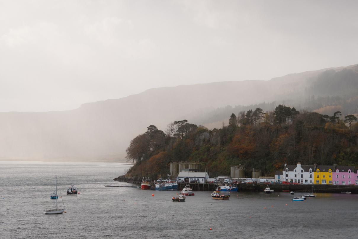
Then Marmalade Hotel in Portree, 6 miles away.
For further reading, before you go.