
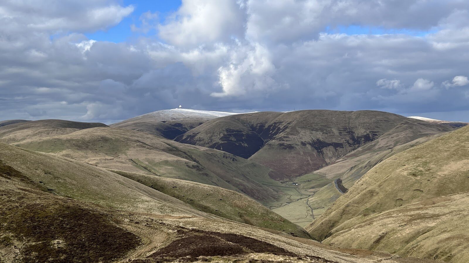
Lowther Hill – The Top of the Southern Upland Way
About 4.3 miles on foot.
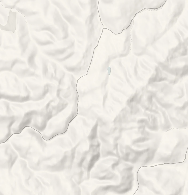
Lowther Hill is the highest point on the whole Southern Upland Way, 725 metres, with the white dome of a radar station on its top.
The climb starts in Wanlockhead, the highest village in Scotland, so there's less of it than the height suggests. It's 7 km up and back over open heather moor, and on a clear day the view reaches the Lake District.
- Time
- About three hours: 7 km up and back on the Southern Upland Way from Wanlockhead (467 m) to Lowther Hill (725 m), with 325 m of climbing. A hill walk, steep in places.
- The path
- A hill footpath over heather moor, steep in places, crossing a private tarmac road.
- Where to start
- The Museum of Lead Mining's car park in Wanlockhead; no charge.
- Set off
- From the end of October to mid-February, set off by noon to be down in daylight.
- When to go
- A clear day from spring to autumn is best. From the end of October to mid-February set off by noon. Under snow, which can lie from November, it is a winter hill.
- Dogs
- Under close control: sheep on the moor.
- Children
- Older children used to hills, in clear weather: steep and exposed.
- Before you set out
- Under snow, which can lie from November, it is a winter hill. The Museum of Lead Mining and its café are closed until spring 2027.
The walk
Park at the Museum of Lead Mining's car park in Wanlockhead, where there's no charge. At 467 metres this is the highest village in Scotland, so a good part of the height is already gained. The museum and its café are closed until spring 2027, so bring food and a flask. The Southern Upland Way leaves the village here and climbs the heather moor to the top of Lowther Hill, at 725 metres the highest point on the whole Way. It's 7 km there and back with 325 metres of climbing, so allow about three hours.
The path is steep in places, and it meets and crosses the private road to the summit more than once. Works vehicles use that road and so do road cyclists. On top is the white dome of the radar station that guides air traffic across southern Scotland. On a clear day the view takes in Daer Reservoir, the Striding Arches, Criffel and the Lake District. Listen for skylarks on the way up, and watch for grouse in the heather.
This is open, exposed hill with no shelter, so take waterproofs, a map and a compass, and go on a clear day. Sheep graze the moor: keep dogs under close control. Snow can lie here from November, and then it's a winter hill for those equipped for one. From the end of October to mid-February, set off by noon to be down in daylight.
If it rains
An exposed hill with no shelter and its whole point is the view: in rain, low cloud or a strong wind, leave it for another day.
Before you go
Book accommodation nearby
If you are staying over: here are ours nearest where the day starts and ends.
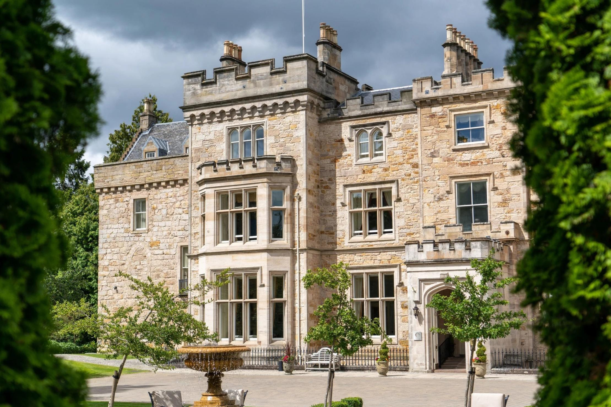
None of ours is close by: the nearest is Crossbasket Castle, 30 miles away.
For further reading, before you go.
Photograph by Richard S via Google