
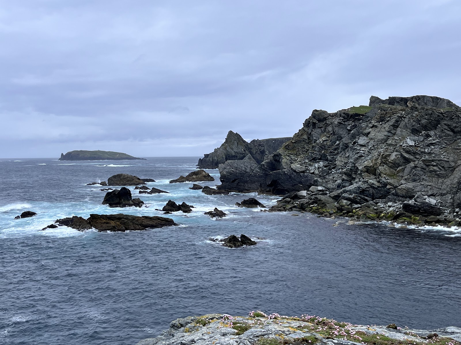
Fethaland
The ruins of Shetland's busiest haaf fishing station at the northern tip of the Mainland, a walk out from Isbister.
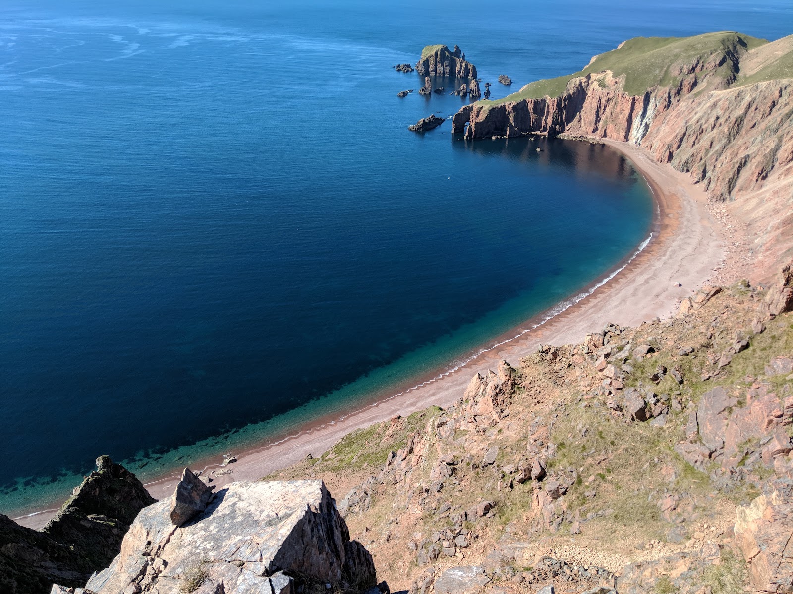
Fethaland lies at the very northern tip of the Shetland Mainland, beyond the last houses of North Roe, and it was once the busiest haaf fishing station in the islands.
Up to sixty sixareens, open six-oared boats built on old Norse lines, worked from here each summer, rowing out to the Far Haaf, the edge of the continental shelf some 50 miles west. The ruins of twenty lodges where the fishermen lived from June to August still stand above the shingle.
The walk out starts at Isbister, past an old kirkyard with rare wooden grave-markers and the Loch of Housaquoy, then north over hill and moor with Ronas Hill behind. Beside the lodges are the mound of an Iron Age broch and the outline of a Neolithic house. Further on, at Cleber Geos, is an old soapstone quarry where the shapes of stone bowls can still be seen in the rock. It is about ten kilometres round, and five hours.
No public transport reaches it; drive to Isbister, park where you block no one, and walk.
About 10km and 5 hours, moderate to challenging, with dangerous cliff edges in the north in wet or windy weather.
- Getting there
- By car to Isbister, North Roe; no bus.
- Walk
- 10km, about 5 hours.
- Going
- Hill, moor and cliff edges.
Fethaland, North Roe, ZE2 9RY.
Scotland, in print.
Every photograph commissioned, every word written by somebody who went. Printed twice a year, made in Scotland.
For further reading, before you go.