
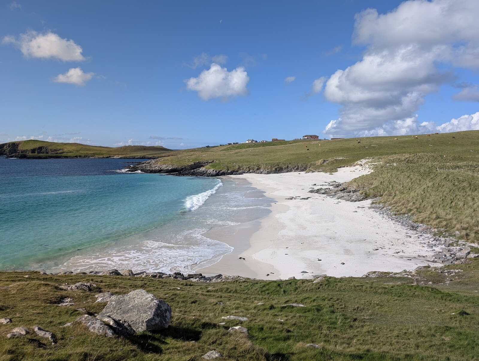
Meal Beach and Hamnavoe – White Sand and a Fishing Village
About 2.8 miles on foot.
Meal is a crescent of white shell sand on West Burra, and Hamnavoe, just along the road, is one of Shetland's prettiest fishing villages.
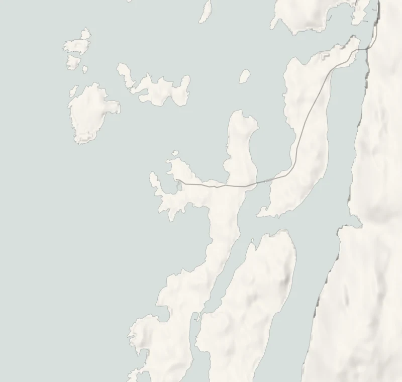
This walk joins the two by the low cliffs and small bays of the coast between them, about 4.5 km in all. Burra is joined to the Shetland Mainland by bridges, so there's no ferry to think about.
- Time
- About two hours: 4.5 km (2.8 miles) round, with 20 metres of climbing. Easy to moderate: a walkway and steps to the beach, then stiles, pasture and low cliffs, and the village road back.
- The path
- Stone steps down to the sand with an awkward last few yards, then stiles and rough pasture.
- Where to start
- The car park at Meal, on the edge of Hamnavoe. Free, with about twenty spaces.
- Set off
- From November to January, set off by noon to be back in daylight.
- When to go
- All year in daylight. Keep off the headlands in a strong wind. From November to January set off by noon.
- Dogs
- On a lead: sheep graze the coast.
- Children
- A good walk for children who can manage stiles: keep them back from the cliff edges.
- Toilets
- Public toilets beside the Meal car park.
- Before you set out
- Steep edges, slippery when wet: keep off the headlands in a strong wind.
The walk
Park in the car park at Meal, on the edge of Hamnavoe on West Burra. It's free, with room for about twenty cars, and there are public toilets beside it. Shetland's tourist board gives the round as 4.51 km with 20 metres of climbing, graded easy to moderate, and allows two hours. A fenced walkway crosses the field to the beach, and stone steps wind down to it. The last few yards onto the sand can be awkward. Meal is a crescent of white shell sand, and the water keeps its colour even under grey cloud. In winter a gale can leave the beach heaped with kelp and driftwood.
From the far end of the sand the walk keeps to the coast, over stiles and through pasture, past the shingle beach at Urmlee, with old boat noosts (hollows where boats were drawn up) cut into the bank above it. At Lu Ness there are the low remains of prehistoric houses, easy to miss among the rocks. The higher ground beyond looks west to Foula on a clear day and north to Ronas Hill. The edges here are steep and slippery when wet, so keep back from them, and stay off the headlands altogether in a strong wind. Hamnavoe comes last. Its name is Old Norse for a safe harbour. There were about six houses here in 1890, and by the 1920s it was a busy fishing village.
The rows of fishermen's cottages are still there, brightly painted, and one shed is covered all over in shells. Seals are often seen around the harbour. The village road leads back to the car park. Sheep graze the coast, so dogs stay on a lead. Don't count on finding a café open on Burra in winter: bring a flask and something to eat. From November to January, set off by noon.
If it rains
There's no shelter between the beach and the village, and the cliff edges turn slippery. On a wet or wild day, walk down the walkway to the sand at Meal and back instead.
For further reading, before you go.
Photograph by Andrew Horrell via Google