
Glen Affric – Am Meallan's View and a Picnic by the River
A few hours.
The route
Glen Affric is often called the most beautiful glen in Scotland, and this half day goes right to the top of it, where the public road ends and the mountains close in.
Wander the pines by Loch Beinn a' Mheadhain, climb to the Am Meallan viewpoint over Loch Affric, and eat a picnic beside the racing River Affric.
Before you go
Book accommodation nearby
If you are staying over: here are ours nearest where the day starts and ends.
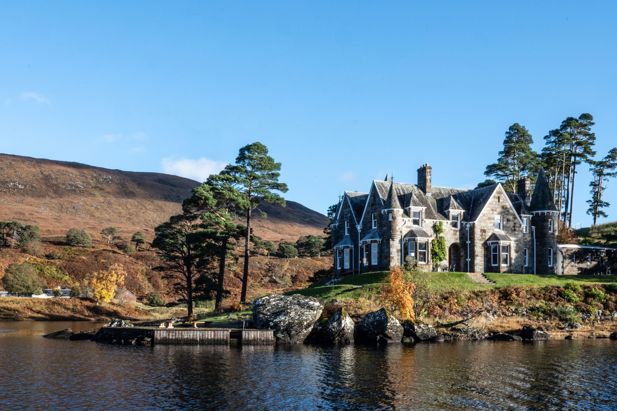
The nearest of ours is Glen Affric Estate, a mile away. Sleeps 24.
The day
Glen Affric
A slow drive up the glen with the picnic in the car, a wander among the pines by one loch, a view over the next, and lunch beside the river that joins them.
About two and a half hoursAbout 1 mile on foot
Loch Beinn a' Mheadhain
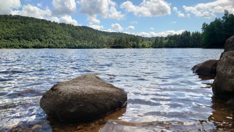
Loch Beinn a' Mheadhain's car park is about eight miles up the single-track road into Glen Affric from Cannich, in the pines and birches right beside the water. It's a Forestry and Land Scotland car park: £2 for up to an hour, £3 for up to three hours or £5 for the day, by card or RingGo, and the same ticket covers River Affric later. Blue Badge holders park free. Small paths wander through the trees along the shore, so give it half an hour or so. The loch looks wild, but it's part of a hydro-electric scheme of the 1950s, fed by water piped through from Glen Cannich, and its level rises and falls with what the power station needs. Floating platforms on it give birds such as black-throated divers somewhere to nest that moves with the water. Keep children close by the open water.
About 5 min by car
River Affric
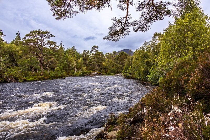
It's 8 minutes on along the glen road to its very end at the River Affric car park, where the glen widens out beneath the mountains. The ticket from Loch Beinn a' Mheadhain covers parking here. Two short trails start from the car park. The Am Meallan Viewpoint Trail crosses the road and makes a short, steep climb through bracken and birch to a viewpoint over Loch Affric, with the mountains at the head of the glen beyond. It's about 0.6 km and a quarter of an hour in all, with rocky steps on the way. Drovers once brought cattle through those passes from the west, on their way to market in Inverness. The River Affric Trail drops to the riverbank, where the brown, peaty river runs fast through the pinewood between Loch Affric and Loch Beinn a' Mheadhain. It's about 0.9 km and half an hour in all, on an uneven path with roots and stone steps, and the river is at its most spectacular after rain. The rocks at the water's edge are worn into swirls. In autumn and winter red deer come down from the hills to feed, so watch the bracken for their reddish coats. Then lay out the picnic in the picnic area: bring it from home, as the glen has no cafés or shops. Boots suit both trails better than wheels. Phone signal is patchy up here, so tell someone your plans before you set out.
If it rains
Both stops are out of doors, with no shelter but the trees. After rain the River Affric is at its most spectacular, but the rocky steps and roots get slippery, so wear boots with a good grip and take them slowly. On a really wet day, eat the picnic in the car looking out over Loch Beinn a' Mheadhain.
Where to stay
Make it a weekend
More days out near Inverness.
Photographs by Harald Aufschnaiter and Duncan Macpherson via Google
Maps from OpenFreeMap © OpenMapTiles, data © OpenStreetMap contributors; heights from Mapzen's terrain tiles.